
Survey services, delivered as data
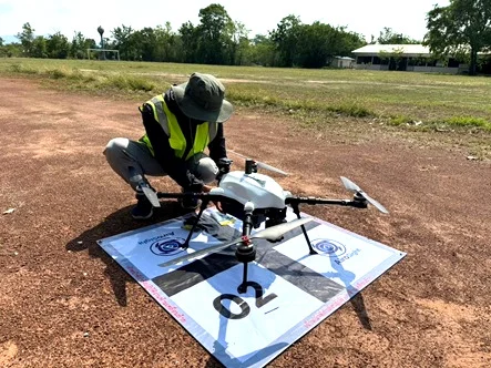
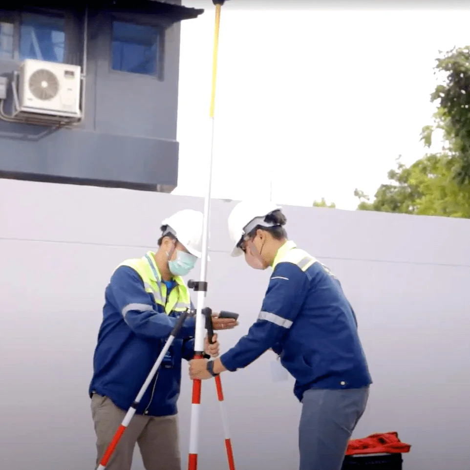
No aircraft to buy: the Airosight team, managed by ICS, flies the survey, processes it and delivers maps, volumes or 3D models.
A specialist survey team
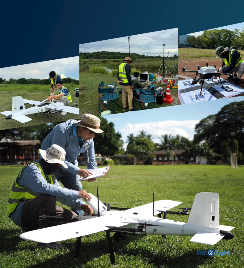
Airosight is the ICS survey service team. We fly, process and deliver 2D maps and 3D models for mapping, construction progress, structural analysis and building damage inspection.
High-resolution survey mapping
Aerial Mapping
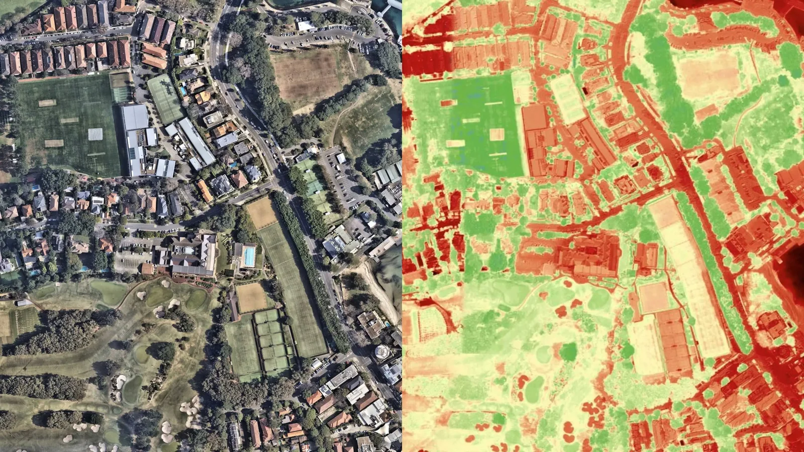
Unlike ordinary aerial photos, a mapping survey records true size and elevation, so you can measure area, volume and distance for design and planning.
What you receive
- Orthomosaic: a high-resolution map you can measure on
- DSM: heights of surfaces and structures
- DTM: heights of the bare ground
- 3D point cloud: the base for 3D models and 3D prints
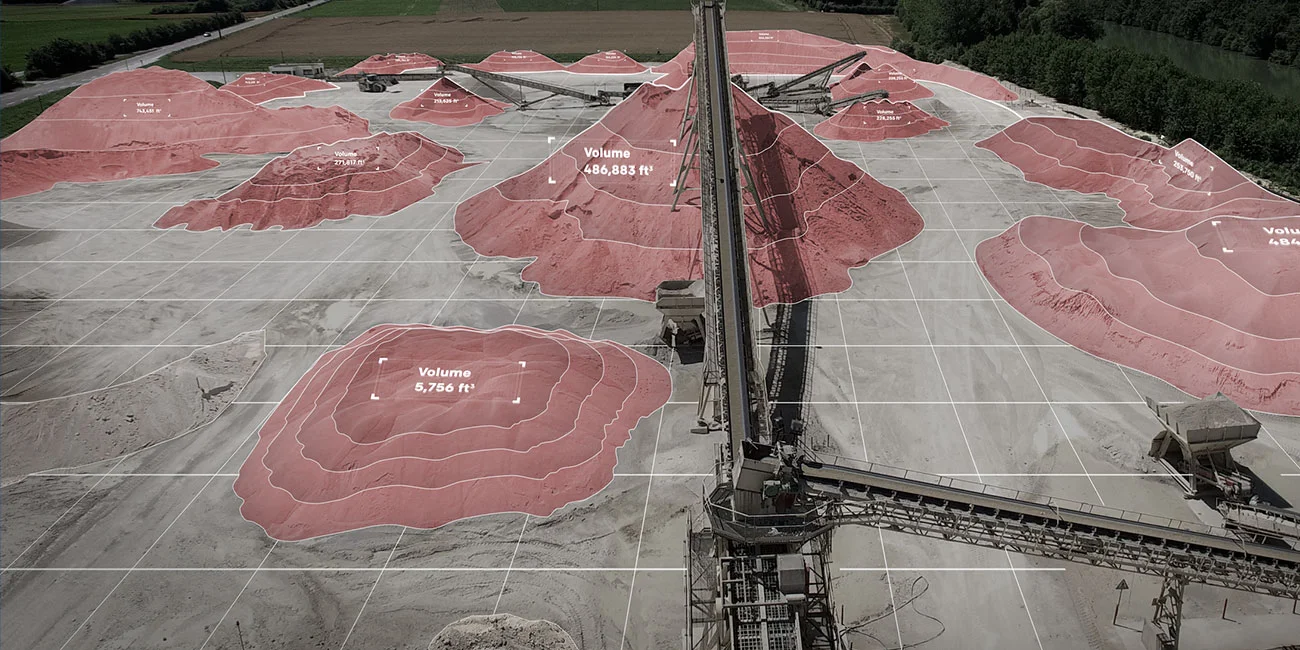
Stockpile volume by drone
UAV Volume Estimation
Drone surveys of outdoor stockpiles such as soil, sand, coal and wood chips, with a volume report for each pile.
What you receive
- Point cloud of the site and each stockpile
- Volume, or weight when bulk density is known
- Used vs. remaining stock, with repeat surveys
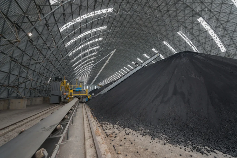
Indoor & outdoor stockpile scanning
LiDAR Volume Estimation
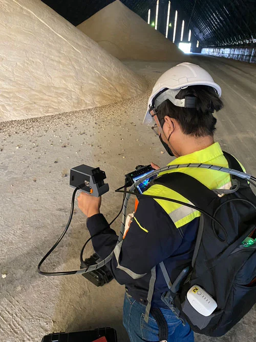
A 3D LiDAR scanner measures bulk stockpiles inside or outside the warehouse: wood chips, bark, bagasse, coal, ore, fertiliser, rock, soil and sand. Counts are fast and cut stock-taking costs.
What you receive
- Point cloud of the site and each stockpile
- Volume, or weight when bulk density is known
- Used vs. remaining stock, with repeat surveys
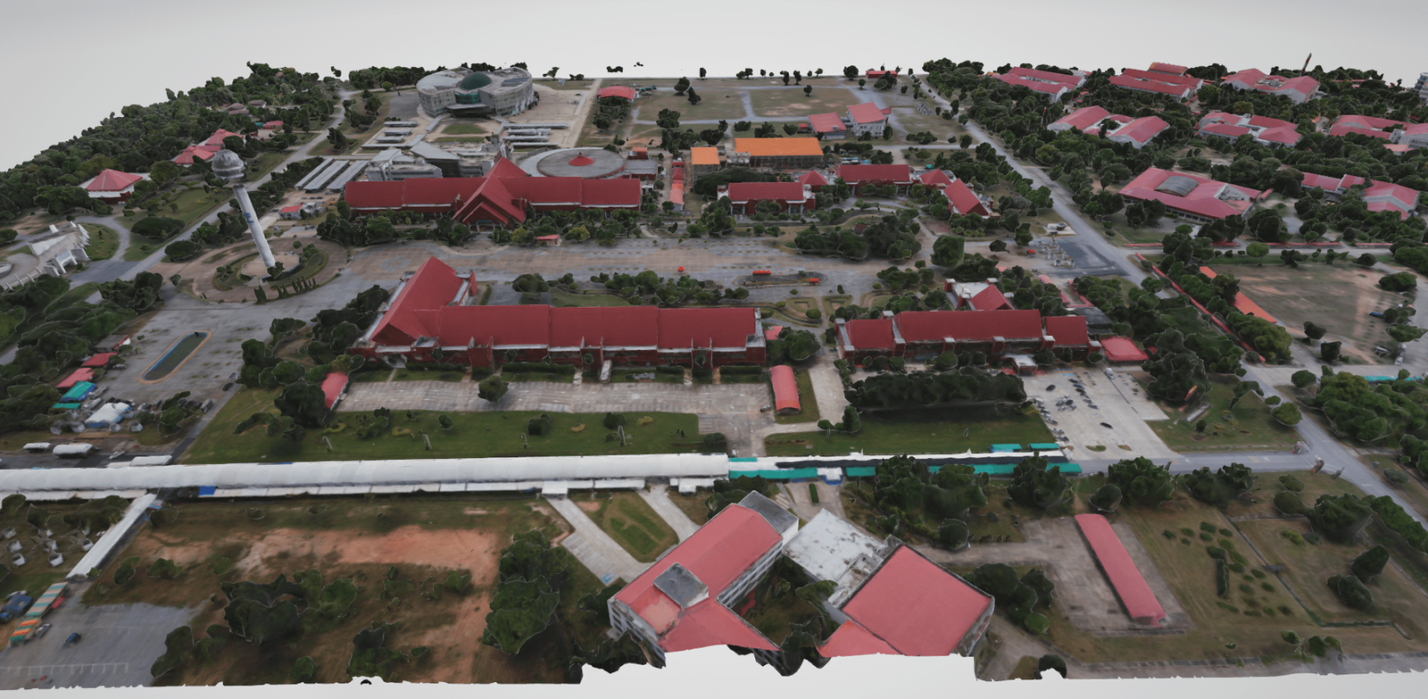
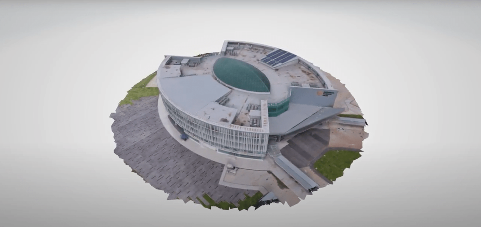
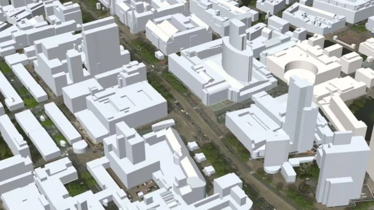
Buildings & digital twins
Point Cloud 3D Model
A point cloud is a dense set of X, Y, Z points that records a building's surfaces. We turn it into a 3D model for design, inspection and digital twins.
What you receive
- Design review: catch errors before building
- Digital twin base model, indoors and outdoors
- 3D city mapping: 9 building types for smart city and tax
- AI-assisted crack and damage checks on tall buildings
- Visuals for presentations and real-estate marketing
How a job runs
From the first call to the report, with your data kept for 30 days.
- Scope, quote and contract
- Deposit and survey date
- Site check and survey flight
- Processing and report
- Final payment, data kept for 30 days
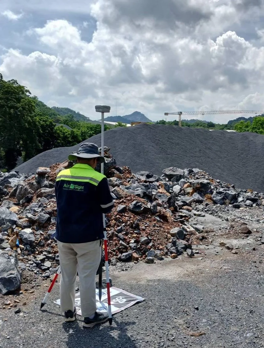
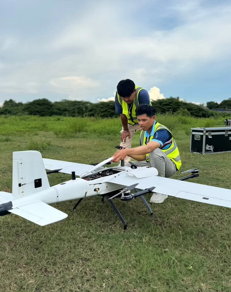
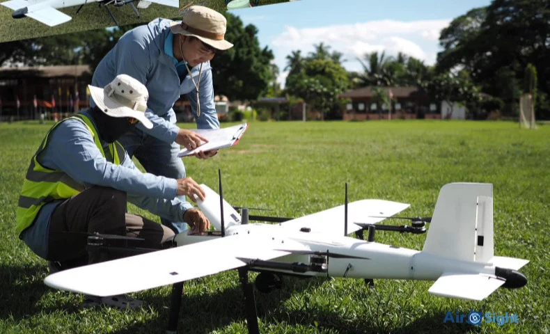
From real jobs
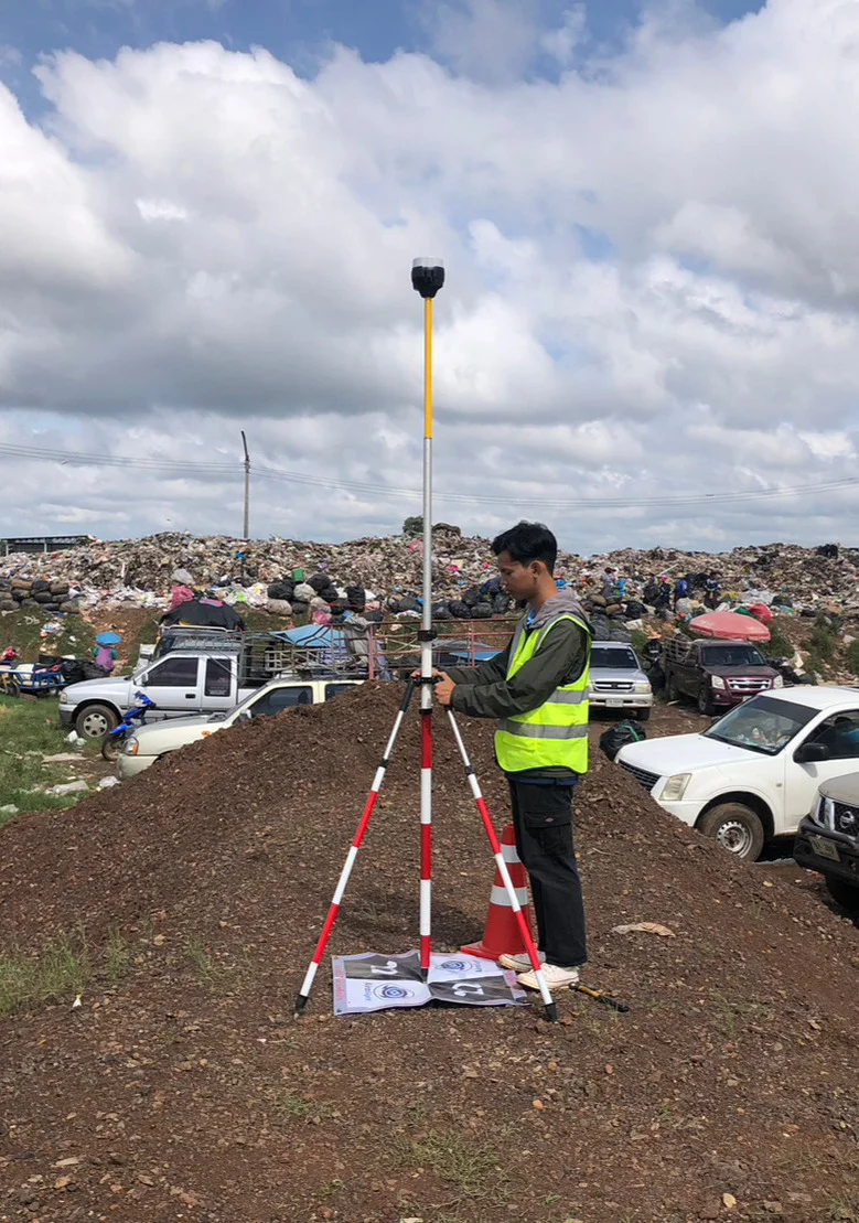
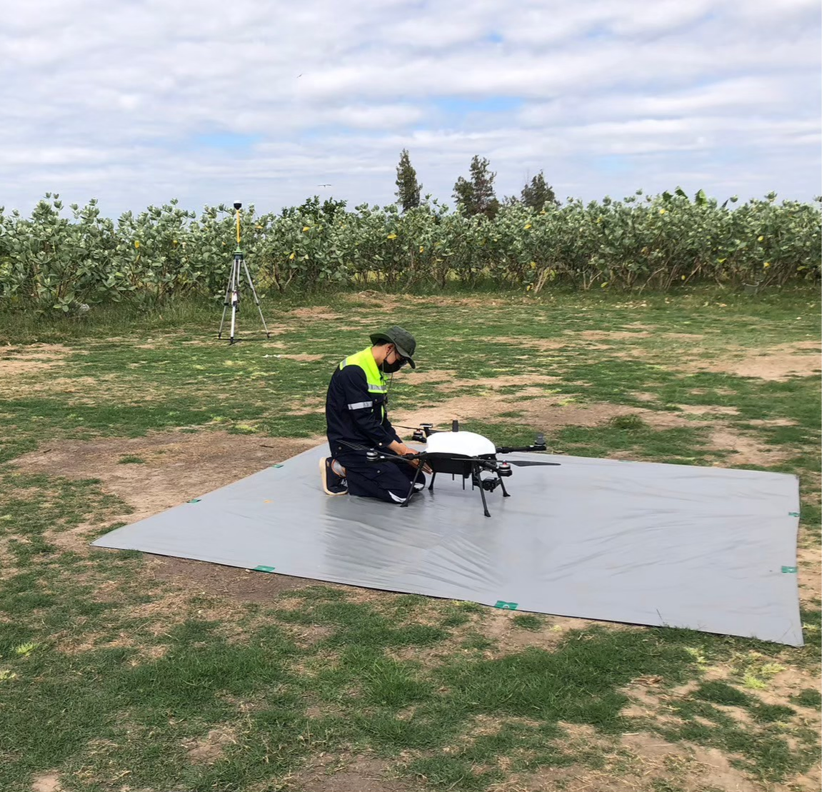
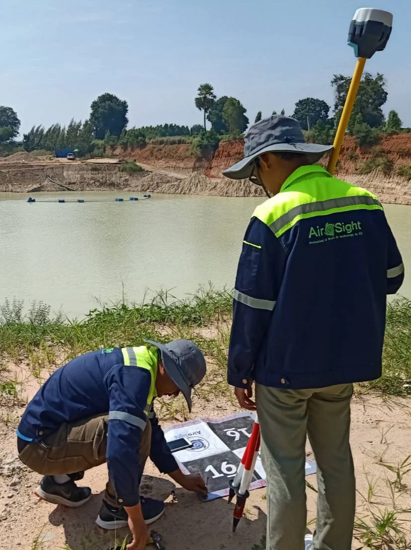
Want your own aircraft?
If surveying is routine work, owning an eVTOL pays off. See which aircraft fits your area.