
Start from the job
Tell us the result you need to deliver; our engineers will match the aircraft and payload.
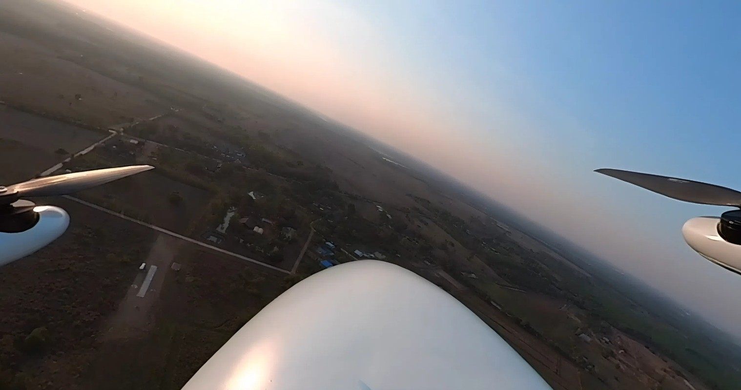
RGB aerial mapping
High-resolution aerial imagery and 3D surfaces for survey, planning and engineering.Recommended: Vertix VL260 · Xtrix VL390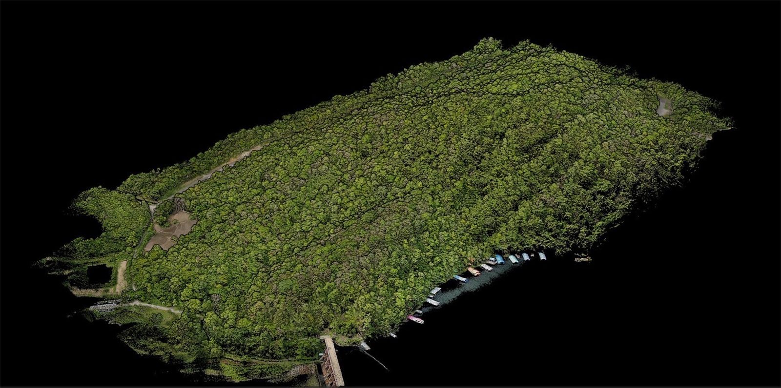
LiDAR 3D scanning
Canopy penetration: point clouds, tree height and DBH, powerline inspection, volumes and elevation profiles.Recommended: Voxel MX · Vilverin VL340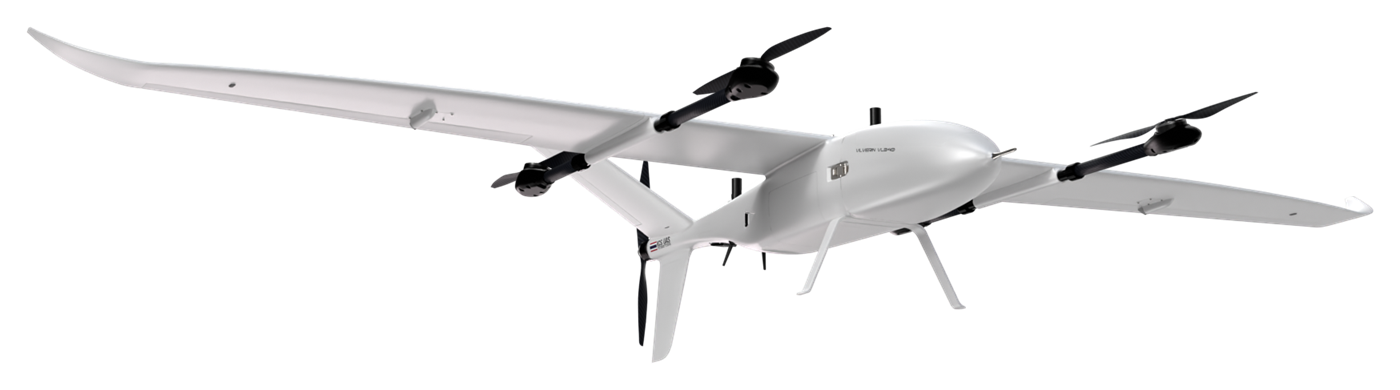
Thermal & hotspot inspection
Find wildfire hotspots and fire lines, industrial heat leaks, and abnormal hotspots on solar farms and powerlines.Recommended: Vilverin VL340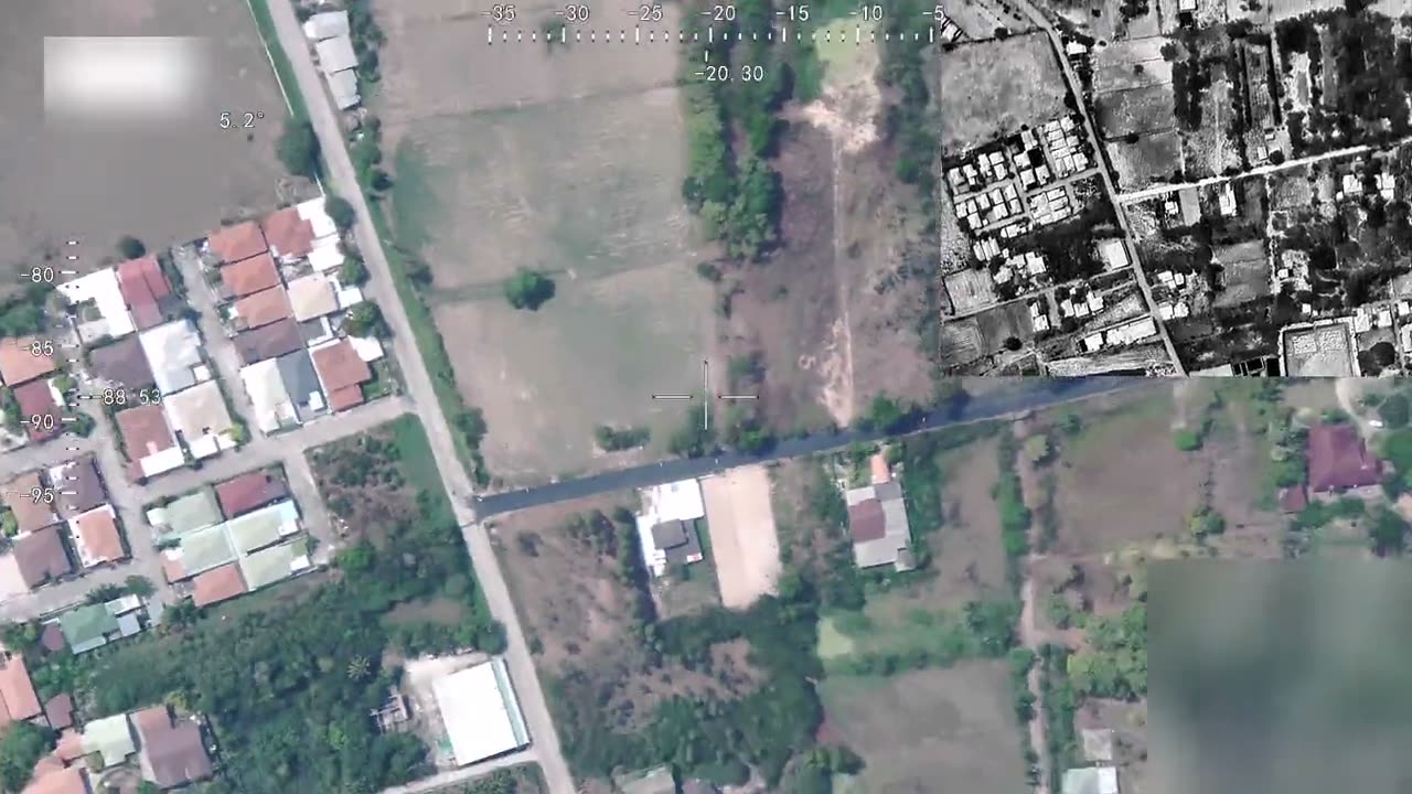
ISR & surveillance
Watch restricted areas, patrol borders and pipelines, and protect conservation areas, with live EO/IR video into UXV C2 and AI object detection inside a defined region of interest.Recommended: Xtrix VL390 · Voxel GS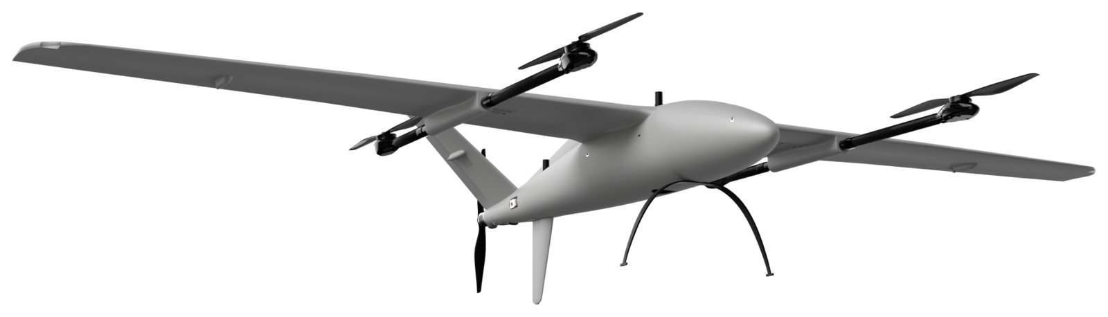
Defense operations
Border security, convoy overwatch, search and rescue and low-profile monitoring, with encrypted links and GNSS-denied navigation.Recommended: Voxel GS · Xtrix VL390Why eVTOL: coverage per day
Figures from ICS operation and mapping-for-service work. Change flight height and overlap to see how GSD and area per day change for each aircraft.
A 100 km² survey
Done in 3 days, not 10
- Fewer launch-site moves (each takes 30-60 minutes)
- Fewer battery swaps and faster pre-flight checks
- About 2× higher cruise speed (23 vs 12 m/s), continuous coverage
What you get back from a flight
 01
Fly
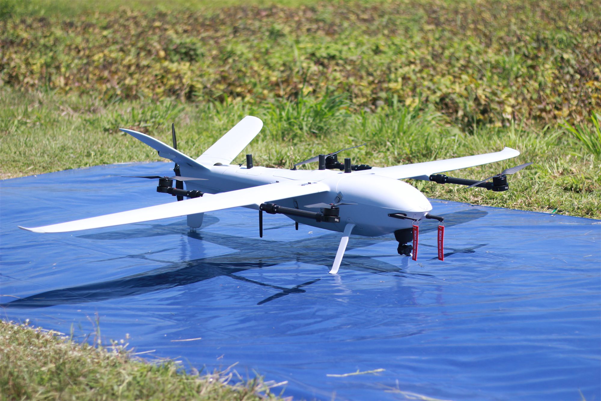
VL260 flies 5 sorties a day, about 6.5 km² each, taking off vertically from a small clearing.
- 02
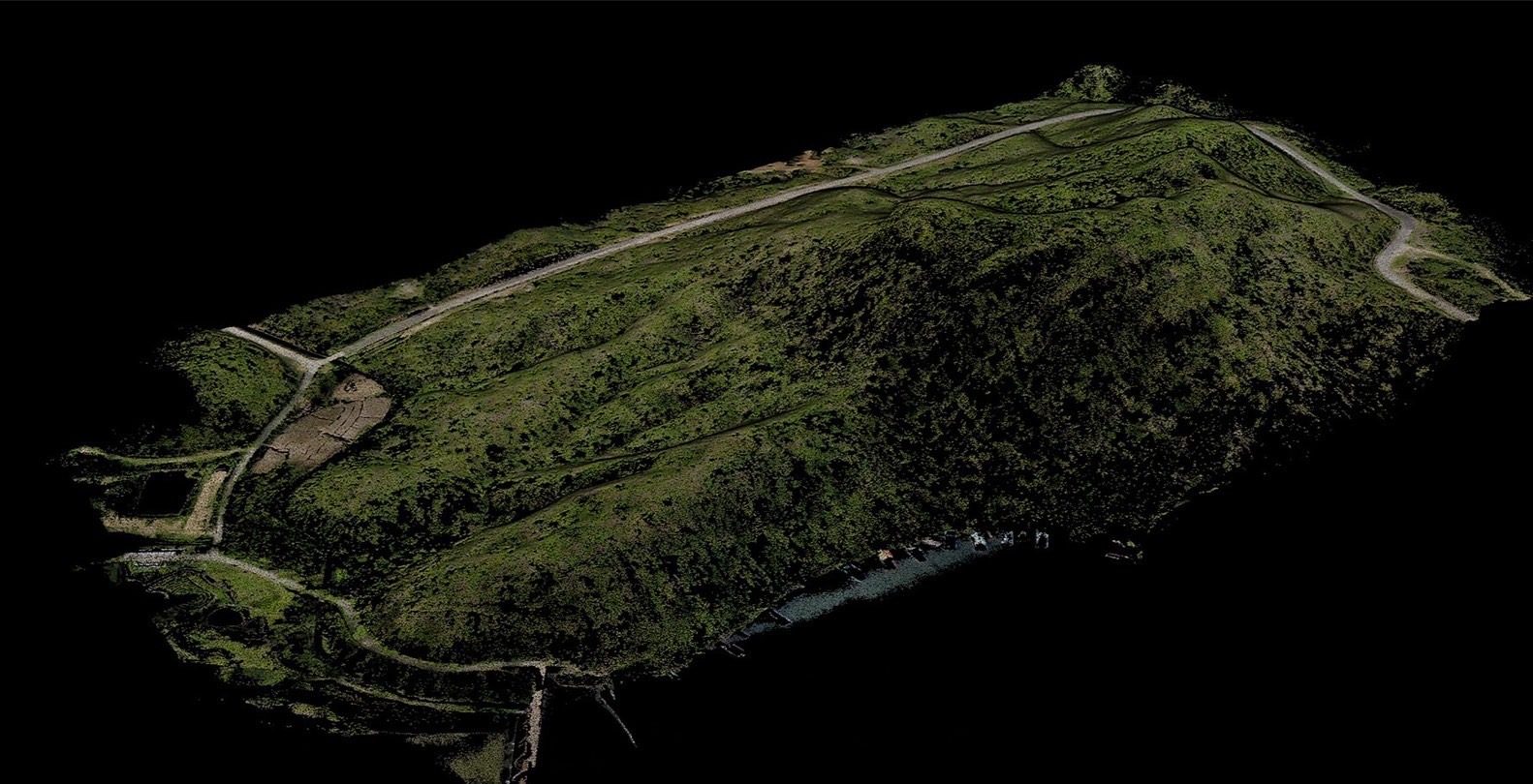
3D point cloud
Every point on the site becomes a 3D coordinate: trees, roads and the waterline.
 03
Ground under the canopy
Strip the trees to the bare ground, showing tracks and gullies a photo cannot see.
 04
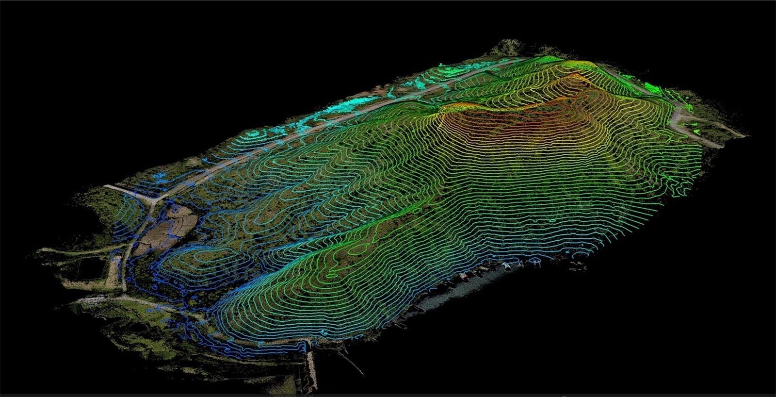
Contours
Ready for design, cut-and-fill volumes and drainage layout.
* Compared with an enterprise-grade multirotor, which flies longer and faster than a standard drone. A standard drone takes longer still.
Days: Sony ILX-LR1 40 mm, 300 m, 70/80% overlap, 25% battery reserve · Images 2–4: real ICS LiDAR output