Fleet / Voxel MX
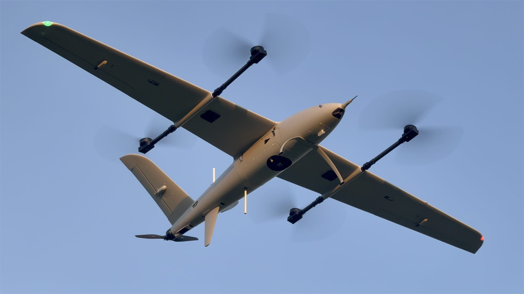
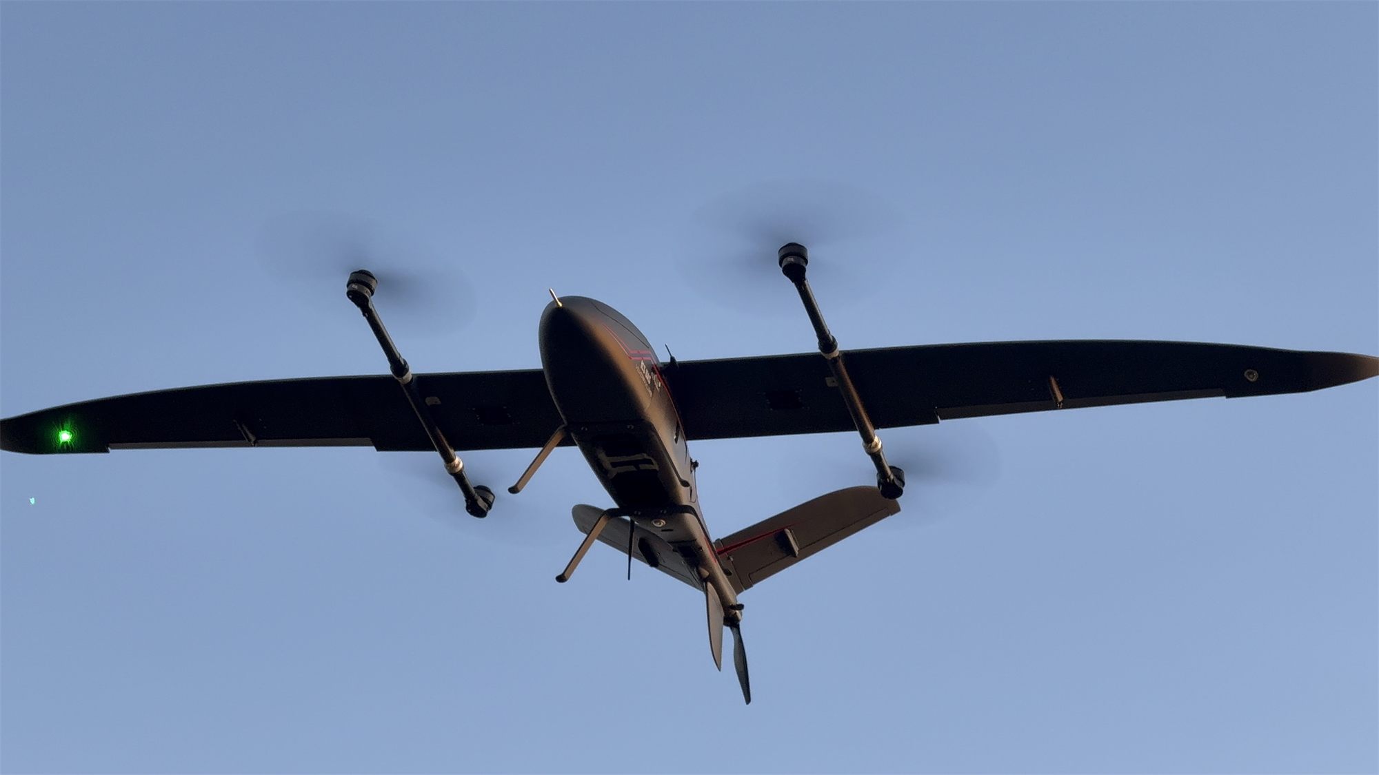
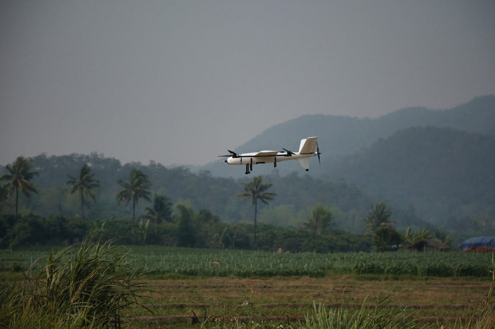
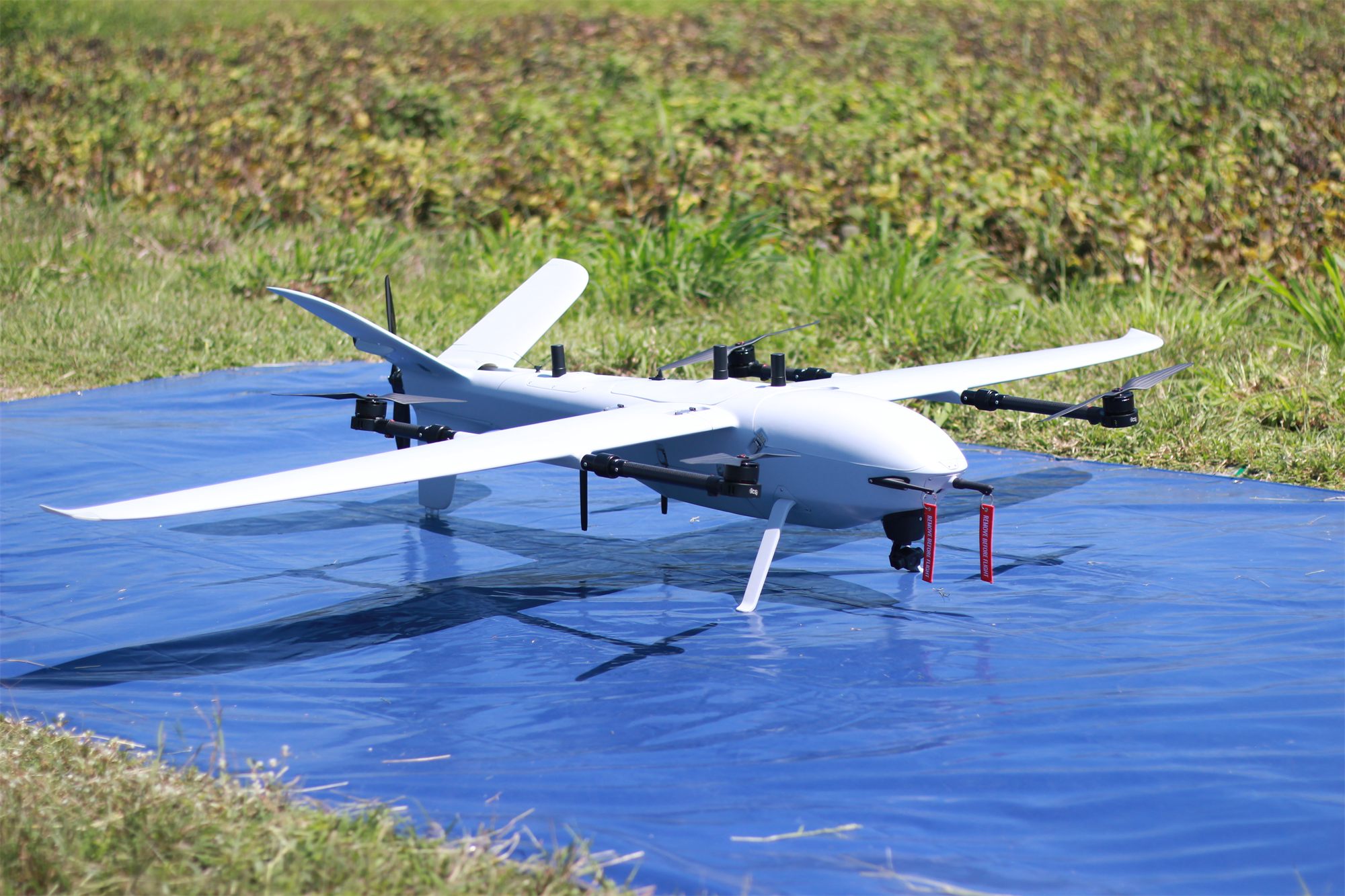
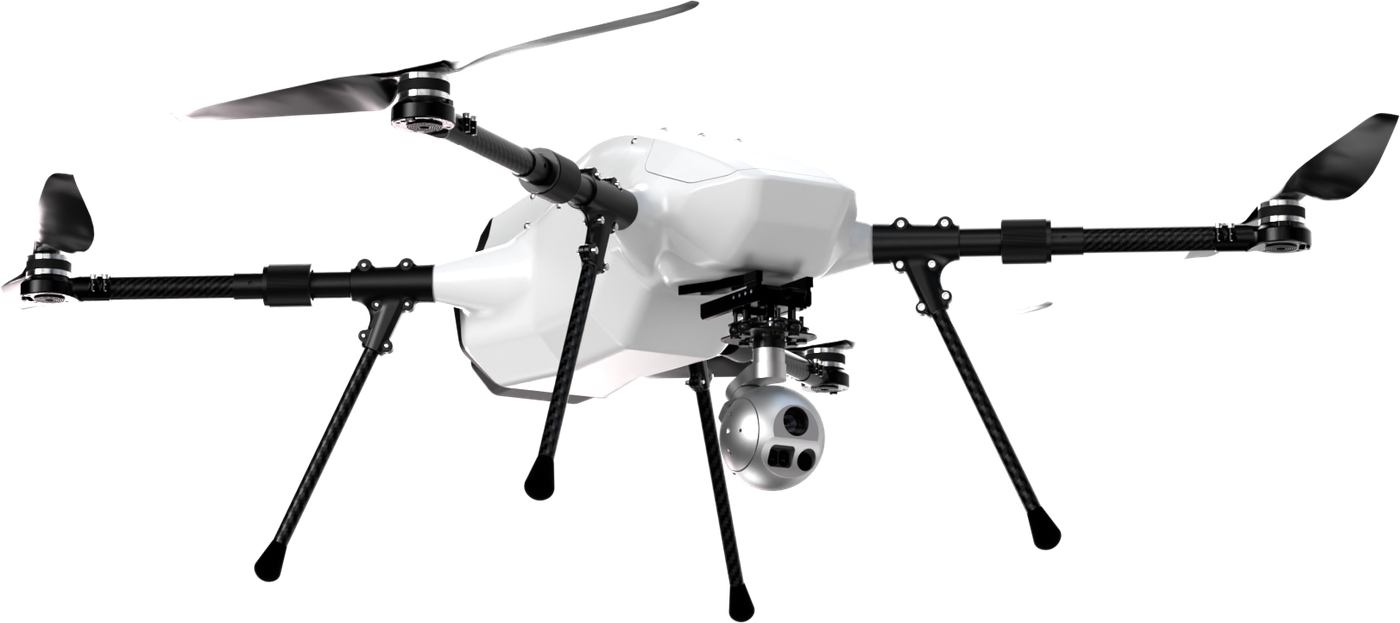
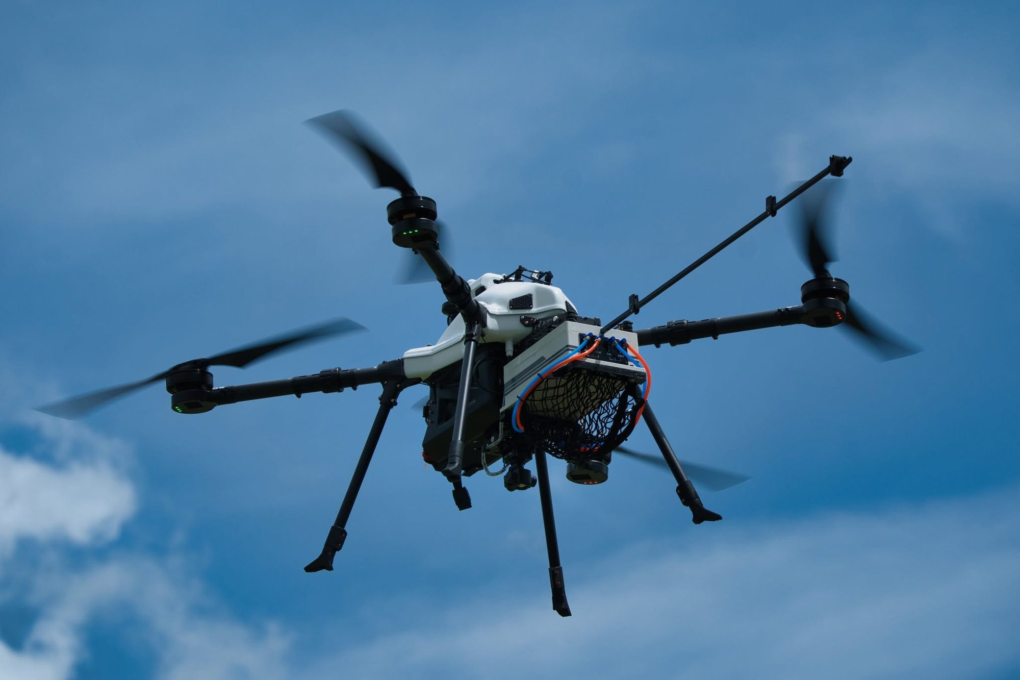
Voxel MX
Multirotor for detailed 3D work in tight sites
- Endurance, no payload
- 75min
- Maximum payload
- 3.5kg
- Diagonal wheelbase
- 1,200mm
- Maximum speed
- 15m/s
Best for
Site-specific survey and high-detail 3D work
Versatile electric multirotor for high-resolution mapping that needs only a few ground control points, thanks to integrated RTK/PPK. Carries full-frame RGB, multispectral, real-time zoom cameras and LiDAR, and packs into a portable case.
Technical specifications
| Airframe and weight | |
|---|---|
| Airframe material | Fiberglass and carbon fiber composites |
| Diagonal wheelbase | 1,200 mm1 |
| Max. takeoff weight (MTOW) | 12.5 kg |
| Maximum payload | 3.5 kg2 |
| Flight performance | |
| Endurance, no payload | 75 min3 |
| Endurance with 2.5 kg payload | 45 min3 |
| Mapping endurance (RGB camera) | 53 min4 |
| Cruise speed | 8–10 m/s |
| Maximum speed | 15 m/s |
| Distance flown per flight | 20+ km |
| Coverage per flight | 2.2 km²5 |
| ISR operating range | 5–7 km |
| Wind and altitude | |
| Wind resistance, VTOL | 13.8 m/s |
| Maximum wind resistance | 13.8 m/s6 |
| Service ceiling | 4,000 m AMSL7 |
| Systems and operation | |
| Battery | Lithium high-voltage |
| GNSS | Multi-constellation L1/L2 (GPS, GLONASS, BeiDou, Galileo, QZSS), anti-jamming (SAW/LNA), anti-spoofing |
| IMU | 3× thermal-calibrated IMUs with barometric pressure compensation |
| Protection | Auto-RTL on low battery or RC/datalink loss, real-time wind monitoring |
| Assembly time | < 3 min |
- 1 Diagonal, folding arms
- 2 With standard battery
- 3 Flight speed ~8 m/s, windless, at mean sea level, until battery reaches 0%.
- 4 Normal operation: mapping with RGB camera, landing with 25% battery reserve (the practical working range).
- 5 At the standard mapping parameters: Sony ILX-LR1 40 mm camera (fits every ICS aircraft), 300 m flying height, 70% side and 80% front overlap, 25% battery reserve.
- 6 Beaufort level 6
- 7 At takeoff weight under 10 kg
Supported payloads
RGB mapping cameras
Sony ILX-LR1
61 MP full-frame. Main mapping camera; default sensor in the survey planner.
- Resolution
- 61 MP
- Sensor
- Full-frame 35.7 × 23.8 mm
- Fastest shot interval
- 0.3 s
- Camera weight
- 243 g
- GSD at 300 m
- 2.82 cm
Multispectral cameras
MicaSense RedEdge-P
5 bands + panchromatic, for agriculture and vegetation.
- Bands
- Blue, Green, Red, Red Edge, NIR
- Resolution per band
- 1.6 MP
- Capture rate
- 3 per second
- Weight
- 350 g
MicaSense Altum-PT
Multispectral and thermal in one sensor.
- Bands
- Blue, Green, Red, Red Edge, NIR
- Resolution per band
- 3.2 MP
- Capture rate
- 2 per second
- Weight
- 577 g
LiDAR
GreenValley LiAir H600
Medium range: general work, canopy penetration, ground under forest.
- Max range (80% reflectivity)
- 750 m
- Points per second (max)
- 550,000
- Built-in camera
- 26 MP
- Weight
- 1.3 kg
GreenValley LiAir H600 Pro
Medium range with almost twice the H600's reach.
- Max range (80% reflectivity)
- 1,200 m
- Points per second (max)
- 1,000,000
- Built-in camera
- 26 MP
- Weight
- 1.62 kg
GreenValley LiAir H800
Long range: fly higher, cover more per flight.
- Max range (80% reflectivity)
- 1,000 m
- Points per second (max)
- 2,000,000
- Built-in camera
- 26 MP
- Weight
- 2.25 kg
Oblique cameras
Riebo D2M
Multi-lens oblique camera for cadastral-grade 3D models.
- Resolution
- 130 MP (all lenses combined)
- Lenses
- 5
- Sensor
- APS-C 23.5 × 15.6 mm
Surveillance and other
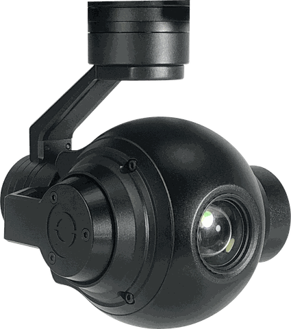 EO 10x
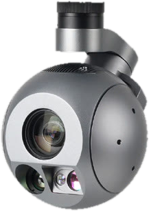 EO/IR LRF Tracking & AI
Software
Standards

The rest of the fleet
Four eVTOL fixed-wing aircraft and two multirotors, designed and built by ICS. Choose by area and mission.