Fleet / Xtrix VL390
Xtrix VL390
Our largest: 5 kg payload, built mainly for long‑range surveillance
- Endurance, no payload
- 180min
- Maximum payload
- 5kg
- Wingspan
- 3,914mm
- Distance flown per flight
- 150+km
Best for
Large-area survey and long-range ISR at 35-50 km
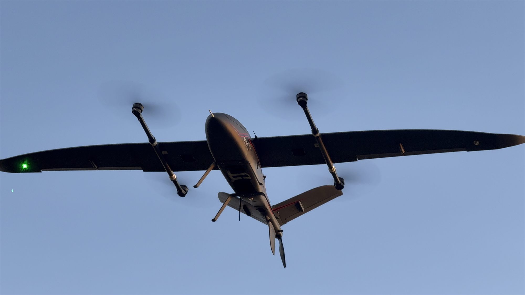
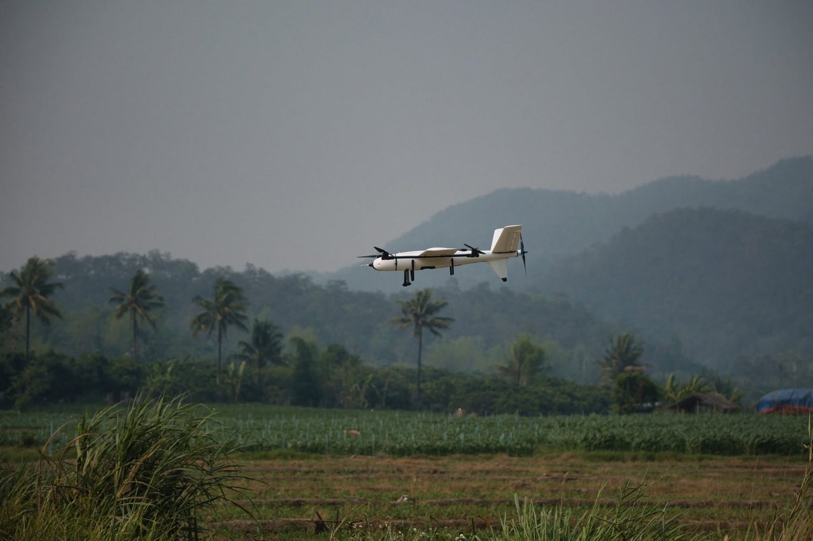
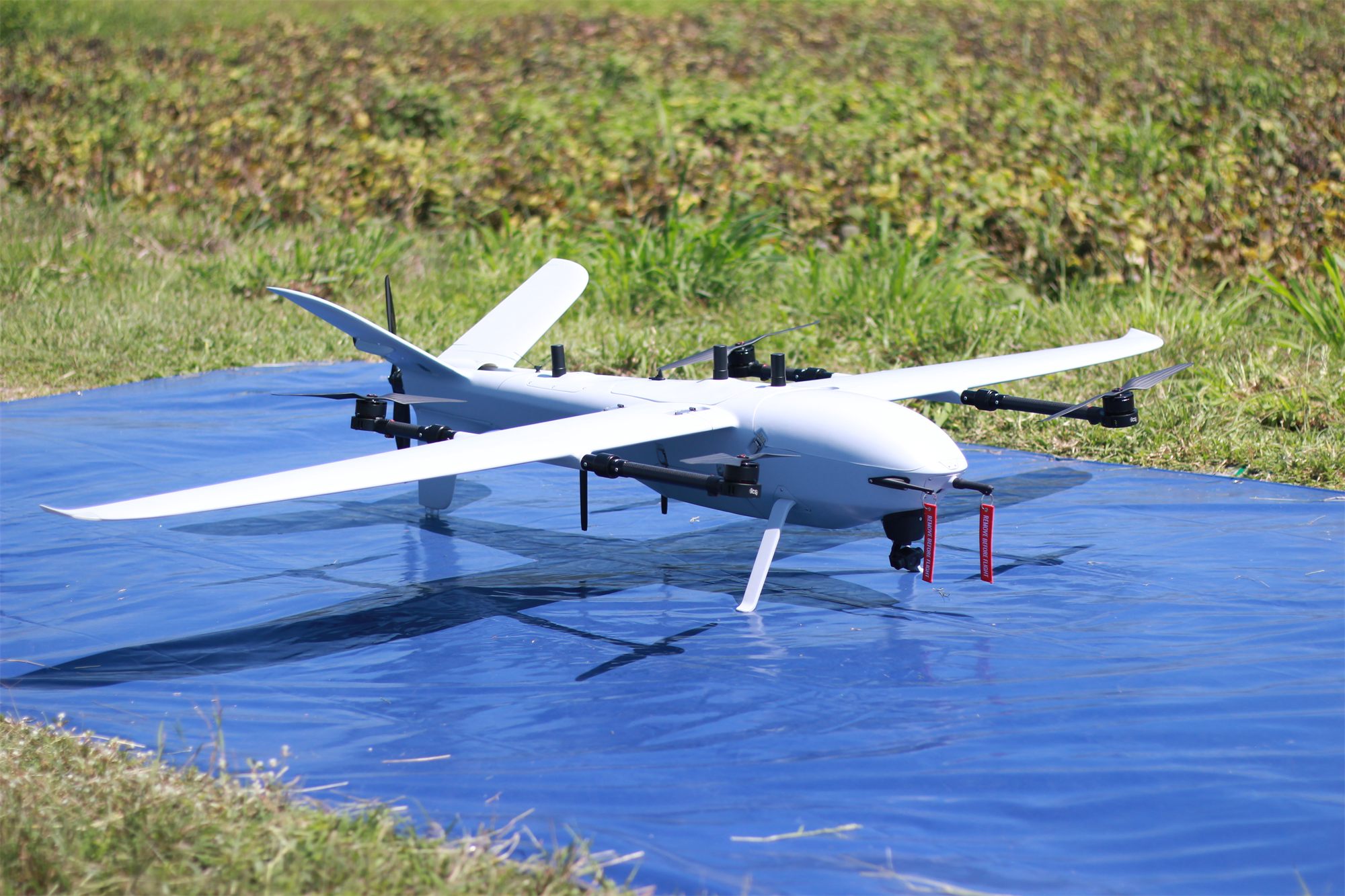
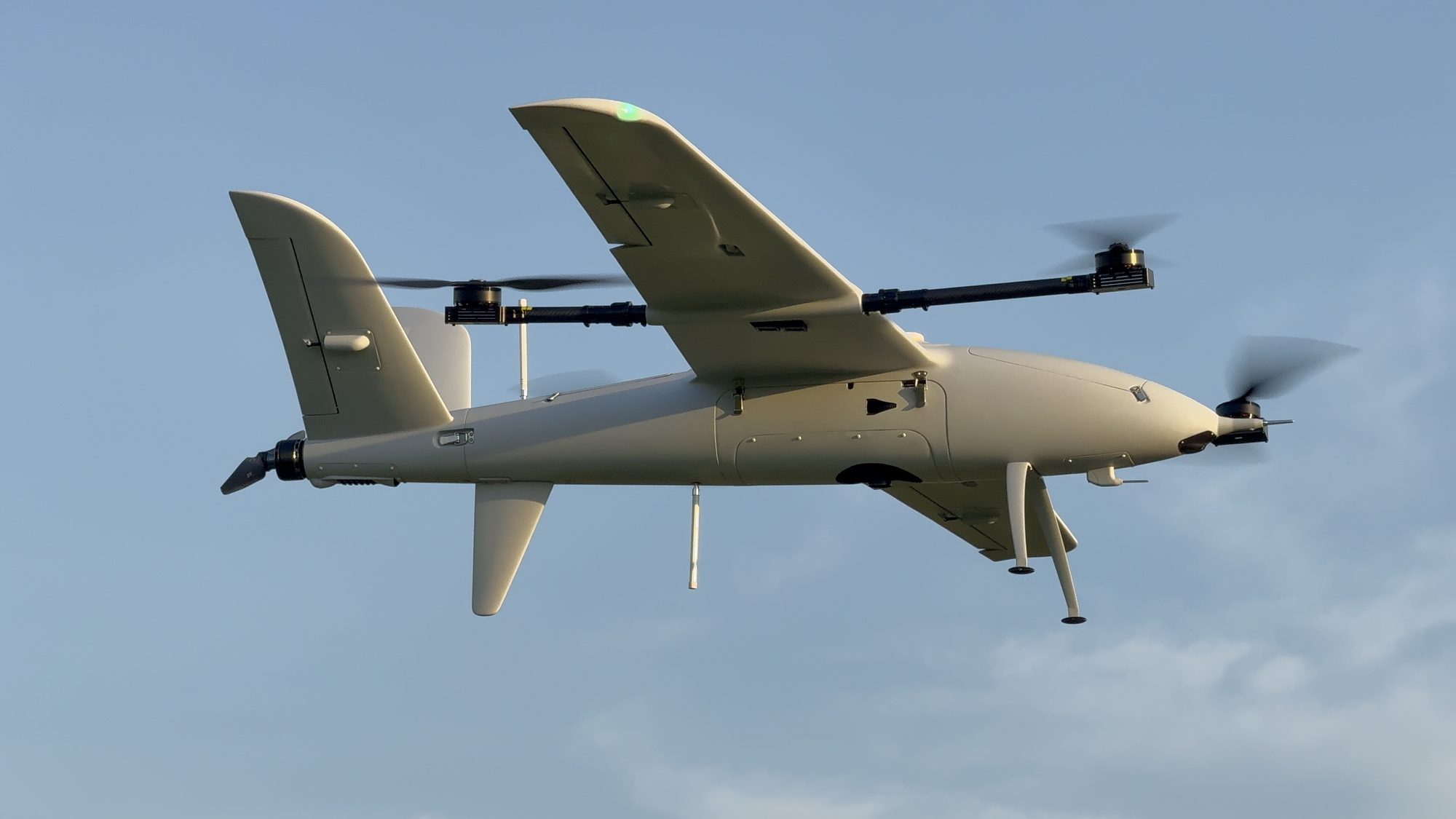
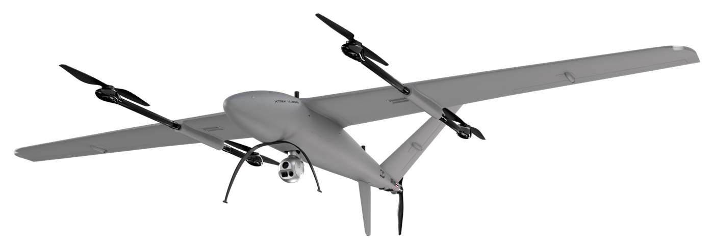
The largest ICS eVTOL: fiberglass and carbon-fiber composite, 3.91 m wingspan and a 5 kg modular payload bay for long-range survey and surveillance in demanding conditions.
Custom paint colour available on order (extra cost).
Xtrix VL390 in 3D
Turn, zoom and look all round, from the ICS engineering design model
Drag to turn · scroll or pinch to zoom
Technical specifications
| Airframe and weight | |
|---|---|
| Airframe material | Carbon fiber and fiberglass |
| Wingspan | 3,914 mm |
| Fuselage length | 1,899 mm |
| Max. takeoff weight (MTOW) | 35 kg |
| Maximum payload | 5 kg |
| Flight performance | |
| Endurance, no payload | 180 min1 |
| Endurance, maximum payload | 90 min1,2 |
| Mapping endurance (RGB camera) | 116 min3 |
| Cruise speed | 23–26 m/s |
| Maximum speed | 30 m/s |
| Maximum climb / descent | 5 m/s |
| Distance flown per flight | 150+ km |
| Coverage per flight | 10.5 km²4 |
| ISR operating range | 35–50 km |
| Wind and altitude | |
| Wind resistance, VTOL | 8.3 m/s5 |
| Wind resistance, cruise | 13.8 m/s6 |
| Maximum takeoff altitude | 2,500 m AMSL |
| Service ceiling | 4,500 m AMSL |
| Normal operating altitude | 120–3,000 m AGL |
| Systems and operation | |
| Battery | 12S lithium high-voltage ×2 |
| Assembly time | < 10 min |
| Industrial-grade flight control sensors | |
|---|---|
| IMU (accelerometer + gyroscope) | ×3 |
| Magnetometer (compass) | ×2 |
| Barometer | ×2 |
| Airspeed sensor | ×2 |
| Dual-band GNSS receiver | ×2 |
| RTK support | GNSS base station or NTRIP |
| PPK GNSS for aerial mapping | ×1 (optional) |
| Laser altimeter (downward‑facing) | ×1 |
| Forward laser rangefinder (obstacle sensing) | ×1 (optional) |
| Thermal calibration and compensation | Yes |
- 1 Flight test in a windless environment at 100 m AMSL until battery reaches 5%. Actual flight time varies with flight method and scenario.
- 2 With 5 kg payload
- 3 Normal operation: mapping with RGB camera, landing with 25% battery reserve (the practical working range).
- 4 At the standard mapping parameters: Sony ILX-LR1 40 mm camera (fits every ICS aircraft), 300 m flying height, 70% side and 80% front overlap, 25% battery reserve.
- 5 Beaufort level 4
- 6 Beaufort level 6
Supported payloads
RGB mapping cameras
Sony ILX-LR1
61 MP full-frame. Main mapping camera; default sensor in the survey planner.
- Resolution
- 61 MP
- Sensor
- Full-frame 35.7 × 23.8 mm
- Fastest shot interval
- 0.33 s
- Camera weight
- 243 g
- GSD at 300 m
- 2.82 cm
Riebo R10PS-50
102 MP medium format: finer detail at the same height, or a wider swath at the same GSD.
- Resolution
- 102 MP
- Sensor
- Medium format 43.8 × 32.8 mm
- Fastest shot interval
- 0.5 s
- Camera weight
- 354.7 g
- GSD at 300 m
- 2.26 cm
Multispectral cameras
MicaSense RedEdge-P
5 bands + panchromatic, for agriculture and vegetation.
- Bands
- Blue, Green, Red, Red Edge, NIR
- Resolution per band
- 1.6 MP
- Capture rate
- 3 per second
- Weight
- 350 g
MicaSense Altum-PT
Multispectral and thermal in one sensor.
- Bands
- Blue, Green, Red, Red Edge, NIR
- Resolution per band
- 3.2 MP
- Capture rate
- 2 per second
- Weight
- 577 g
LiDAR
GreenValley LiAir H600
Medium range: general work, canopy penetration, ground under forest.
- Max range (80% reflectivity)
- 750 m
- Points per second (max)
- 550,000
- Built-in camera
- 26 MP
- Weight
- 1.3 kg
GreenValley LiAir H600 Pro
Medium range with almost twice the H600's reach.
- Max range (80% reflectivity)
- 1,200 m
- Points per second (max)
- 1,000,000
- Built-in camera
- 26 MP
- Weight
- 1.62 kg
GreenValley LiAir H800
Long range: fly higher, cover more per flight.
- Max range (80% reflectivity)
- 1,000 m
- Points per second (max)
- 2,000,000
- Built-in camera
- 26 MP
- Weight
- 2.25 kg
Oblique cameras
Riebo D2M
Multi-lens oblique camera for cadastral-grade 3D models.
- Resolution
- 130 MP (all lenses combined)
- Lenses
- 5
- Sensor
- APS-C 23.5 × 15.6 mm
Riebo DG4M3
Oblique camera for urban and building survey.
- Resolution
- 225 MP (all lenses combined)
- Lenses
- 5
- Sensor
- Full-frame 36 × 24 mm
Surveillance and other
 EO/IR LRF Tracking & AI
Software
Standards

Defense configuration (GS390)
The Xtrix GS390 is the VL390 configured for ISR and security work. Blue values differ from the Standard configuration.
| Item | Standard | Defense (GS390) |
|---|---|---|
| Max. takeoff weight (MTOW) | 35 kg | 34 kg |
| Maximum payload | 5 kg | 5 kg |
| Endurance, no payload | 180 min | – |
| Endurance (EO/IR camera) | – | 100 min |
| Endurance (RGB camera) | – | 120 min |
| Cruise speed | 23–26 m/s | 21–27 m/s |
| Maximum speed | 30 m/s | 30 m/s |
| Wind resistance, VTOL | 8.3 m/s | 8.3 m/s |
| Wind resistance, cruise | 13.8 m/s | 14 m/s |
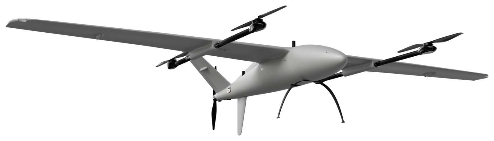
Defense and dual‑use sensors
- Tactical-grade IMU/INS
- Triple-band GNSS with anti-jamming and anti-spoofing
- Visual navigation sensor (optional)
- Advanced navigation for GNSS-denied environments
Highlights
- CAN-bus actuators, fault isolation, MIL-STD option
- High-bandwidth datalink: encrypted, authenticated, anti-jam
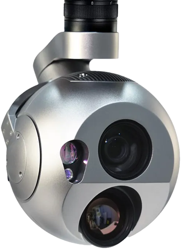
- Swappable EO/IR ISR payload with laser rangefinder
- Onboard edge-AI computer
- Also takes 61 MP, 102 MP, multispectral and LiDAR
Defense (GS390): built for more than survey
The systems that matter on ISR and security missions: what you can see on the aircraft, and what sits inside it.
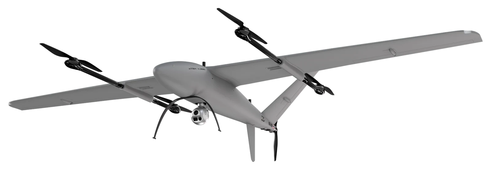
On the aircraft
- Long-lifespan propulsion systemHigh-quality materials and precision machining, with data feedback for a preventive-maintenance programme.
- Control surface actuatorReliable CAN bus, feedback insight and an algorithm for failure detection and isolation.
- Multi-frequency, multi-constellation GNSS receiverAdvanced interference-mitigation technology protects against both jamming and spoofing attacks.
- ISR mission: EO/IR with LRF (swappable payload)Onboard AI processing on an NVIDIA Jetson Orin, with integrated support for future visual-aided navigation.
Inside the airframe
- GNSS-aided inertial navigation systemPrecise navigation that significantly improves reliability in GNSS-denied environments.
- Datalink encryption and authenticationHigh-bandwidth video streaming with anti-jamming and interference mitigation, engineered for critical SAR and ISR missions.
- ADS-B mode IN/OUT (option)
- Support for professional aerial-survey sensorsFull-frame 61 MP, medium-format, multispectral and LiDAR systems.
Eight layers of fail-safe
Motor out, a faulty wing servo, spoofed GNSS: every case has an automatic response engineered by ICS.
See every safety system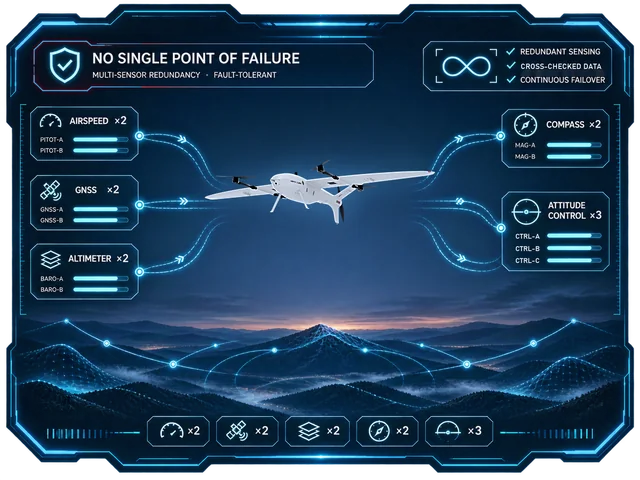 01No single point of failure
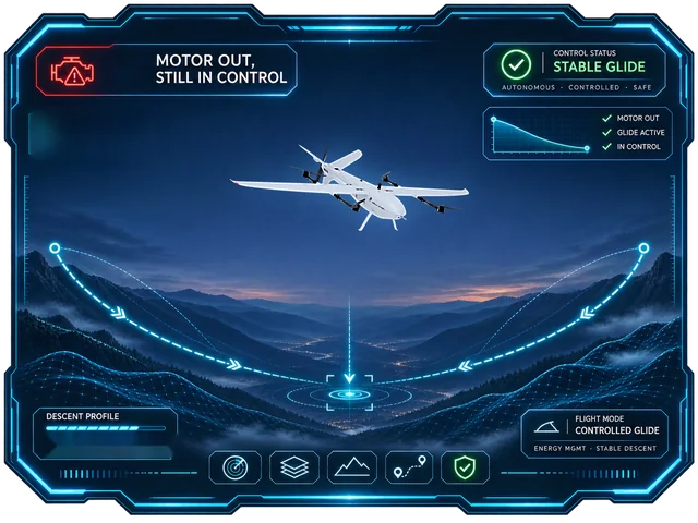 02Motor out, still in control
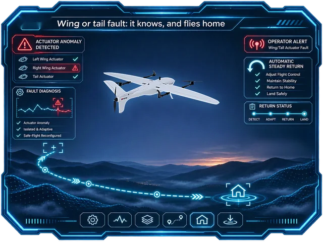 03Wing or tail fault: it knows, and flies home
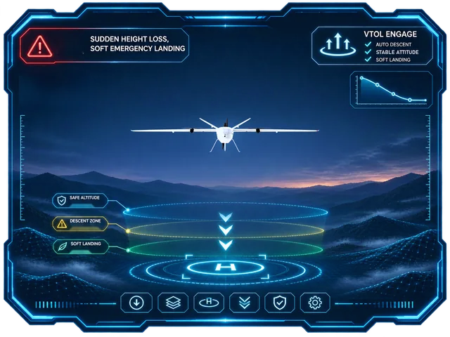 04Sudden height loss, soft emergency landing
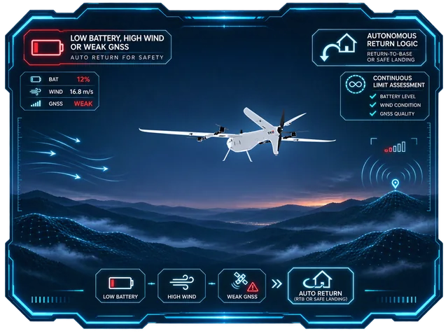 05Low battery, high wind or weak GNSS: it comes home on its own
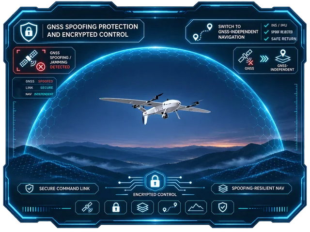 06GNSS spoofing protection and encrypted control
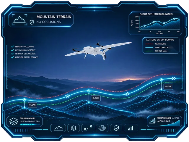 07Mountain terrain, no collisions
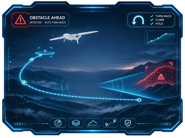 08Obstacle ahead: it turns back (optional)
The rest of the fleet
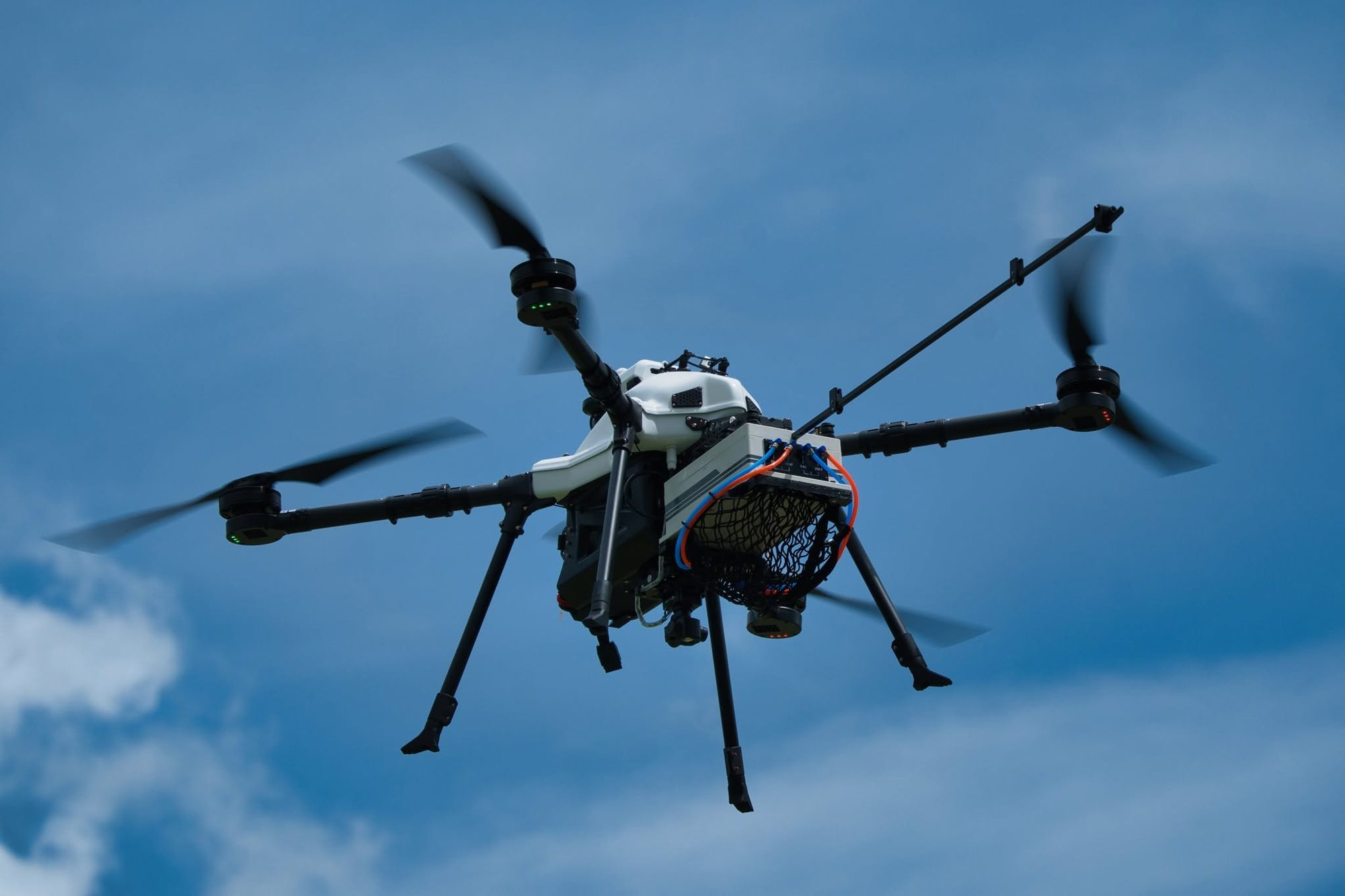
Four eVTOL fixed-wing aircraft and two multirotors, designed and built by ICS. Choose by area and mission.