
Missions / LiDAR 3D scanning
LiDAR 3D scanning
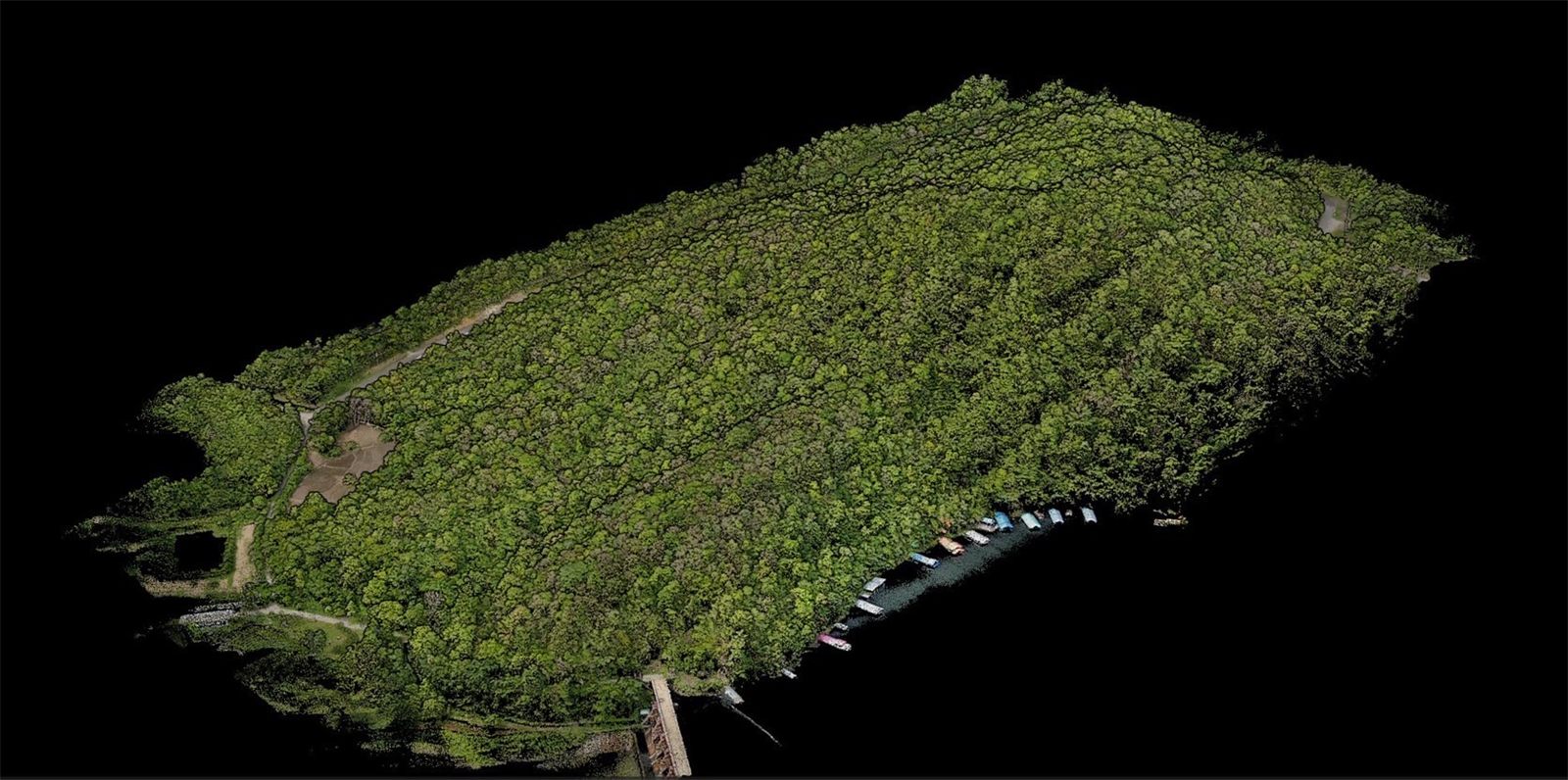
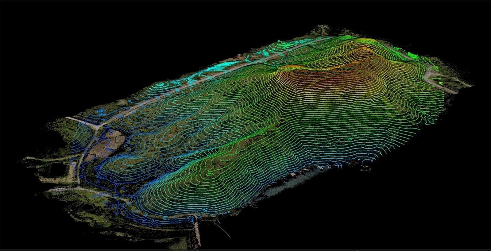
Canopy penetration: point clouds, tree height and DBH, powerline inspection, volumes and elevation profiles.
Deliverables, ready to use
Standard file formats that open straight away in the GIS and CAD software your team already uses.
- Point cloud (LAS/LAZ)
- DSM / DTM
- Volume report
- Elevation profile
Field track record
Survey flights and on-site training on live jobs with government agencies and state enterprises across Thailand.
 LiDAR
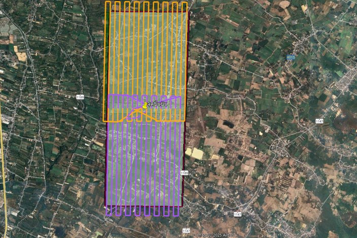
LiDAR for an airport feasibility study
LiDAR survey of the Chiang Mai Lanna site to assess whether an airport can be built
- Corn-cob warehouseLiDAR stockpile measurement inside the warehouse
- Wood-chip plantWood-chip pile volumes from point clouds
- Raw-material storeIndoor stockpile volumes
- Sugar raw-material storeStock survey and verification
Request a flight demo
Enter your mission and area to see the right aircraft and a rough time estimate, then send it to our engineers to prepare an on-site demo.