Fleet / Avix GN220
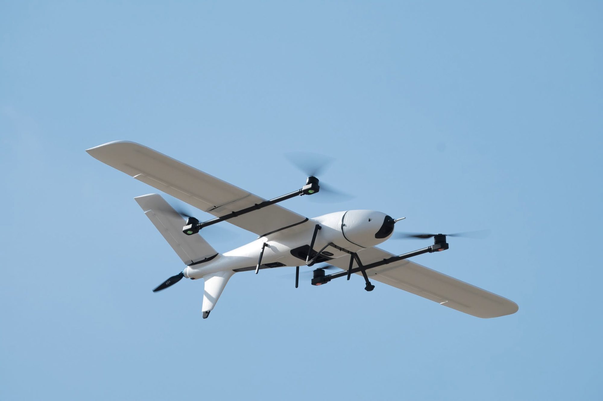
Avix GN220
Compact eVTOL for getting started in mapping
- Endurance, no payload
- 100min
- Maximum payload
- 0.5kg
- Wingspan
- 2,180mm
- Distance flown per flight
- 70+km
Best for
Entry-level survey and mapping
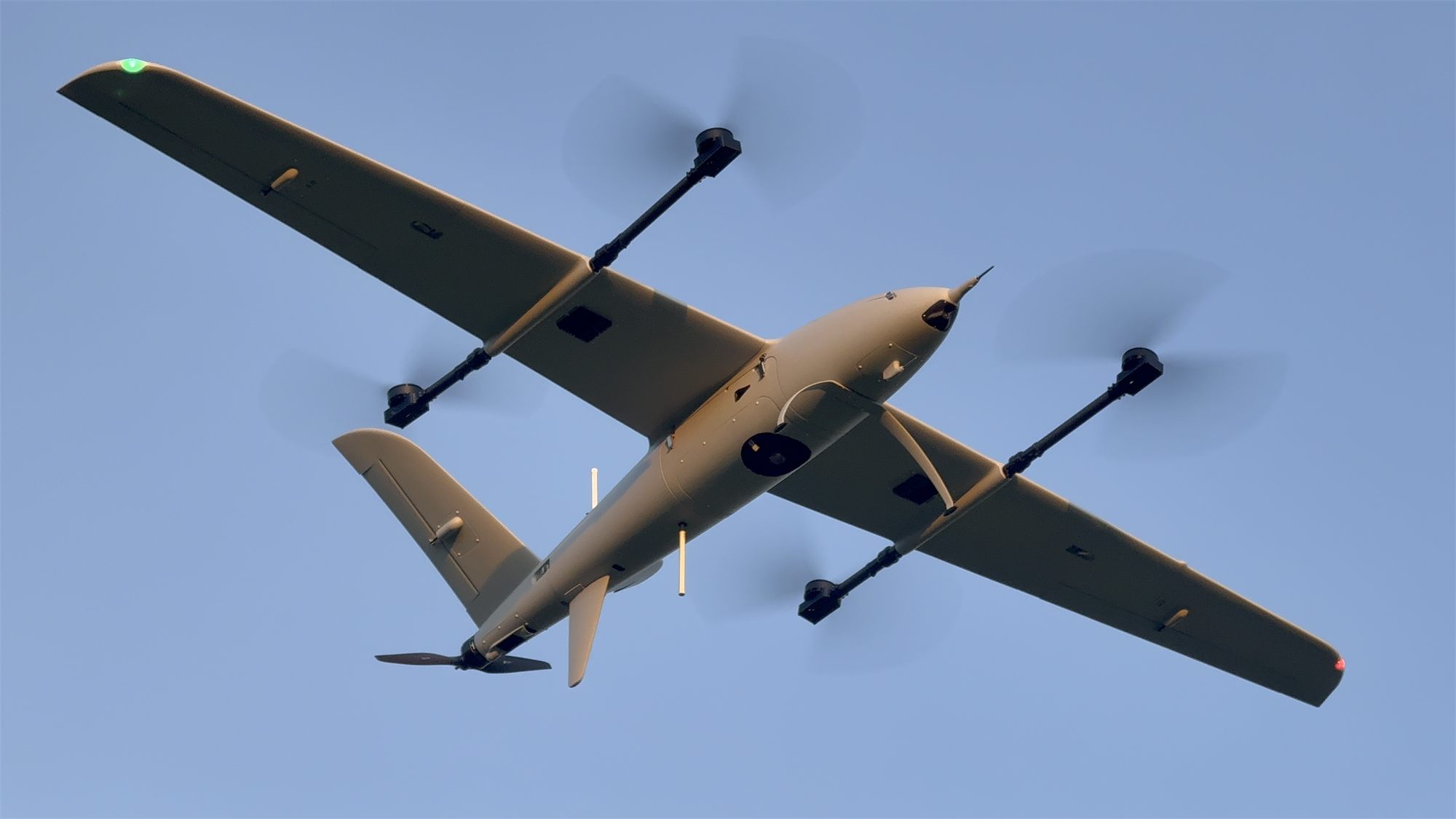
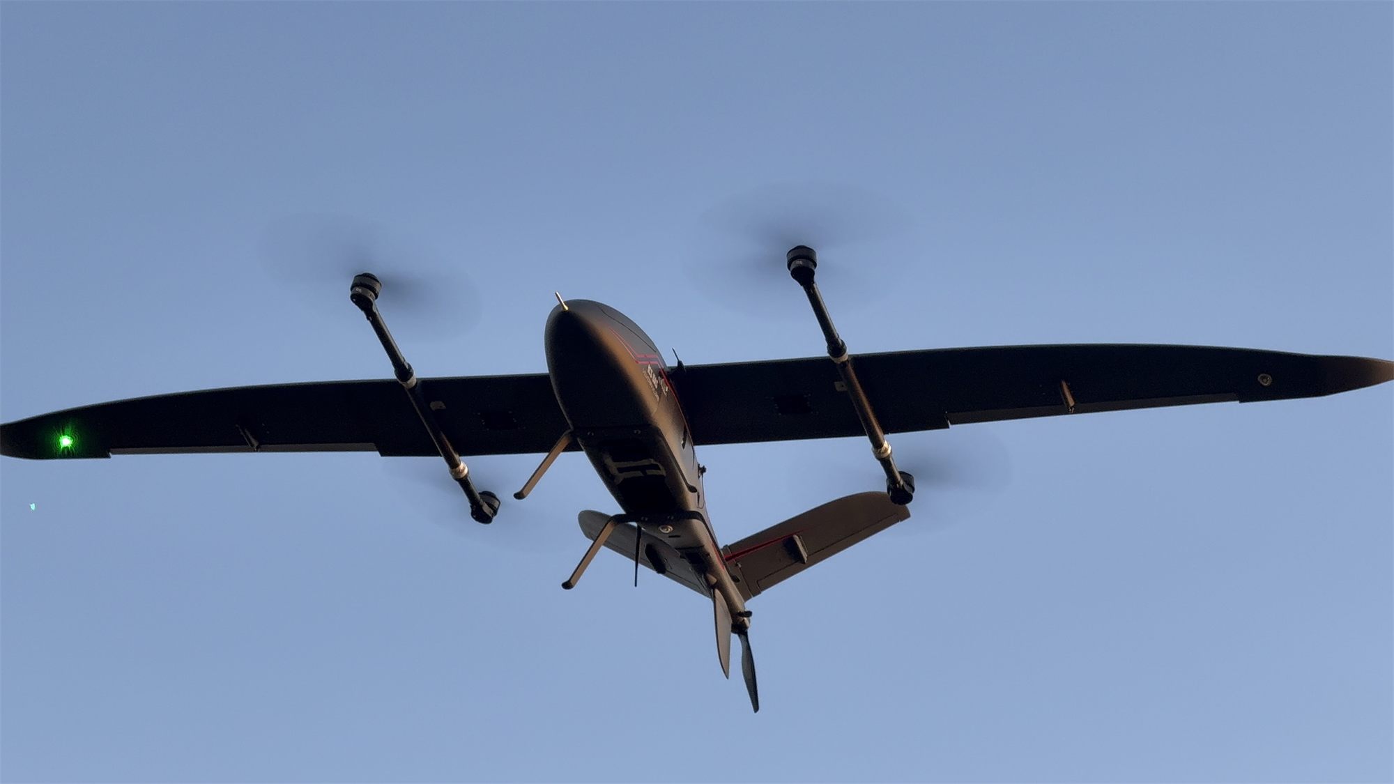
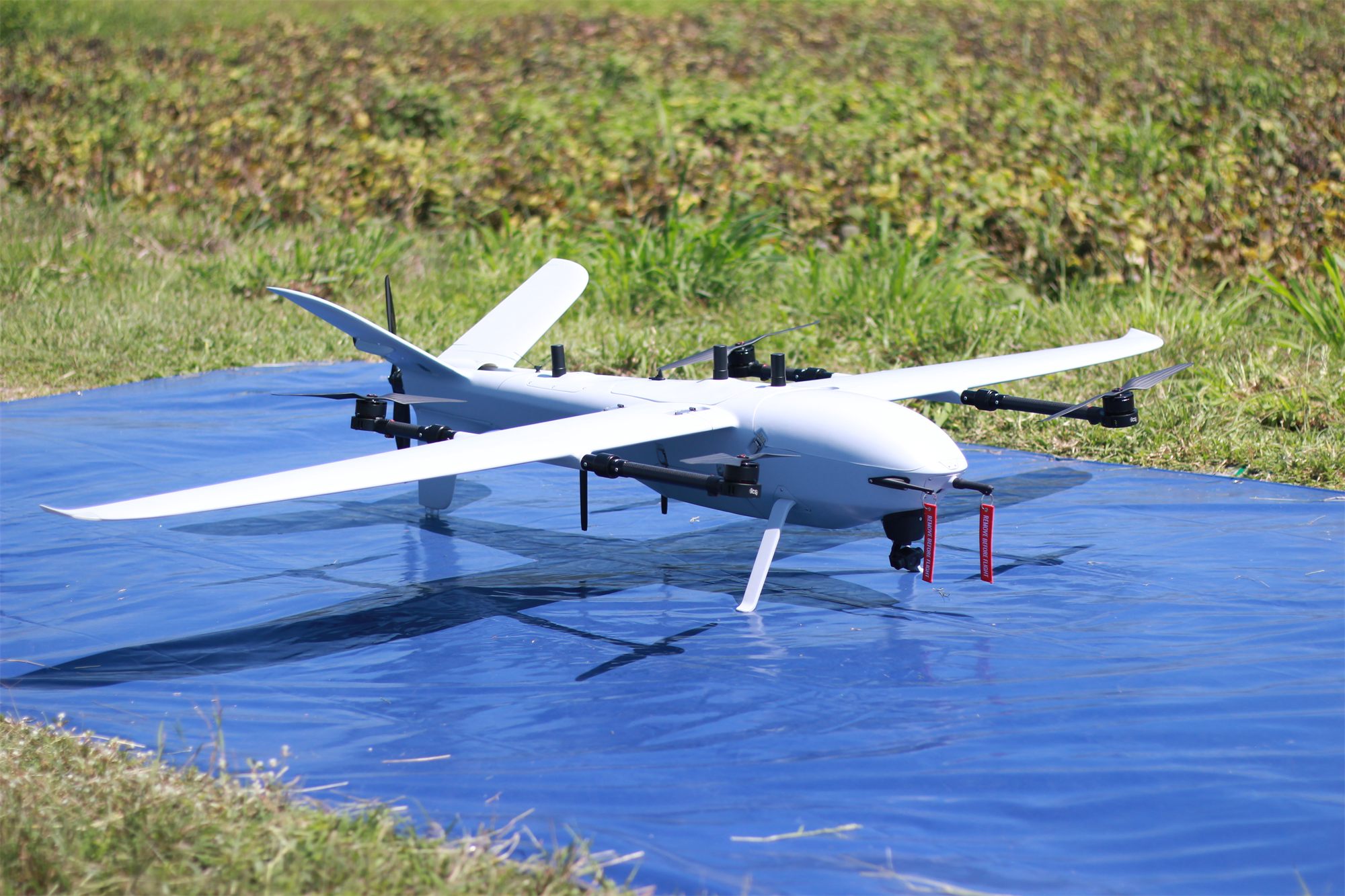
Multi-purpose VTOL fixed-wing with a lightweight EPO airframe built for portability, easy repair and low-cost deployment. The interchangeable nose carries an orthophoto camera, a tilt camera or an optoelectronic pod.
Technical specifications
| Airframe and weight | |
|---|---|
| Airframe material | EPO foam with plastic-wrap surface |
| Wingspan | 2,180 mm |
| Fuselage length | 1,330 mm |
| Max. takeoff weight (MTOW) | 7.5 kg |
| Maximum payload | 0.5 kg |
| Flight performance | |
| Endurance, no payload | 100 min1 |
| Mapping endurance (RGB camera) | 71 min2 |
| Cruise speed | 18–22 m/s |
| Maximum speed | 24 m/s |
| Maximum climb / descent | 4 m/s |
| Distance flown per flight | 70+ km |
| ISR operating range | 7–10 km |
| Wind and altitude | |
| Wind resistance, VTOL | 7 m/s |
| Wind resistance, cruise | 12 m/s |
| Maximum takeoff altitude | 2,000 m AMSL |
| Service ceiling | 3,500 m AMSL |
| Normal operating altitude | 90–500 m AGL |
| Systems and operation | |
| Battery | 6S High energy density Battery |
| GNSS | x1 Dual-band — L1, L2 for GPS, GLONASS, BeiDou, Galileo, QZSS |
| Assembly time | < 3 min |
| Flight control sensors | |
|---|---|
| IMU (accelerometer + gyroscope) | ×3 |
| Magnetometer (compass) | ×2 |
| Barometer | ×1 |
| Airspeed sensor | ×1 |
| Dual-band GNSS receiver | ×1 |
| RTK support | GNSS base station or NTRIP |
| PPK GNSS for aerial mapping | Optional |
| Laser altimeter (downward‑facing) | ×1 |
| Thermal calibration and compensation | Yes |
- 1 Flight test in a windless environment at 100 m AMSL until battery reaches 5%. Actual flight time varies with flight method and scenario.
- 2 Normal operation: mapping with RGB camera, landing with 25% battery reserve (the practical working range).
Supported payloads
RGB mapping cameras
Sony ILX-LR1
61 MP full-frame. Main mapping camera; default sensor in the survey planner.
- Resolution
- 61 MP
- Sensor
- Full-frame 35.7 × 23.8 mm
- Fastest shot interval
- 0.3 s
- Camera weight
- 243 g
- GSD at 300 m
- 2.82 cm
Multispectral cameras
MicaSense RedEdge-P
5 bands + panchromatic, for agriculture and vegetation.
- Bands
- Blue, Green, Red, Red Edge, NIR
- Resolution per band
- 1.6 MP
- Capture rate
- 3 per second
- Weight
- 350 g
Surveillance and other
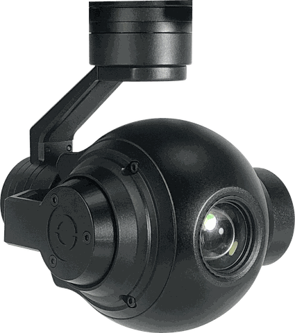 EO 10x
Software
Standards

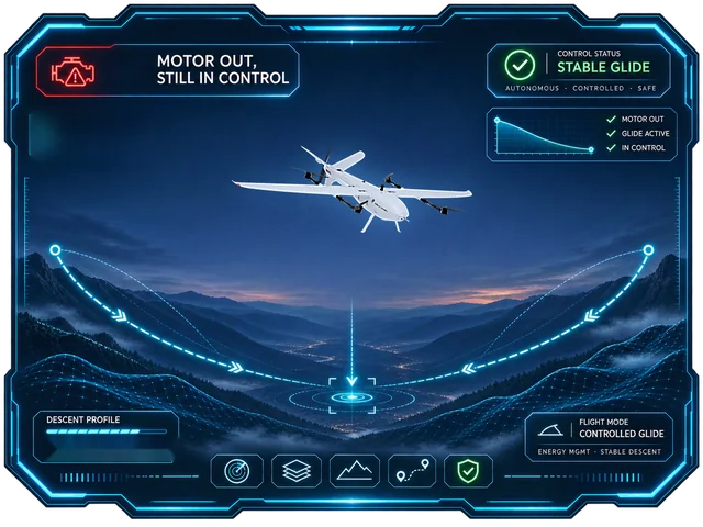
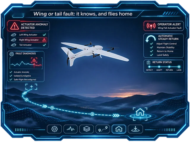
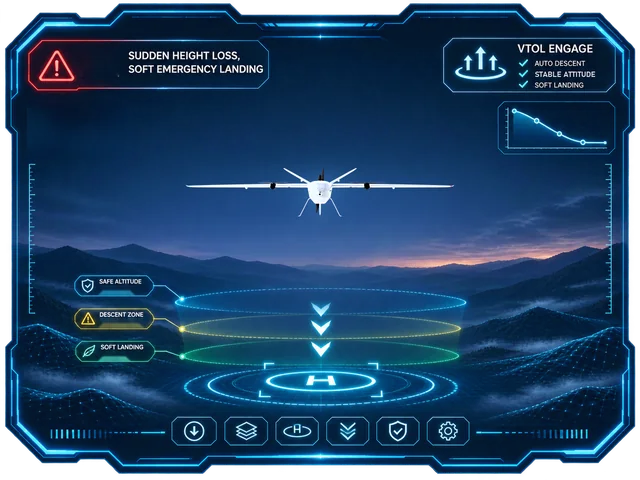
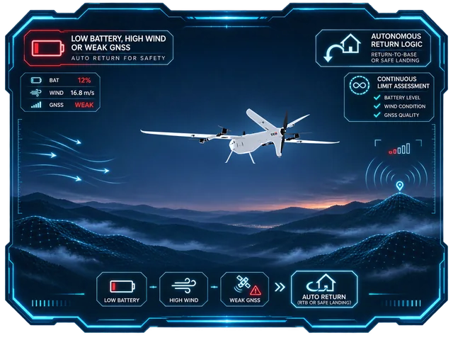
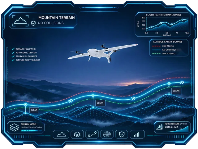
Seven layers of fail-safe
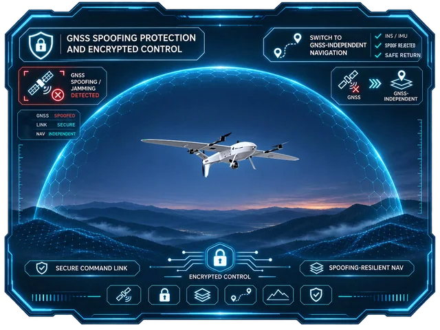
Motor out, a faulty wing servo, spoofed GNSS: every case has an automatic response engineered by ICS.
See every safety system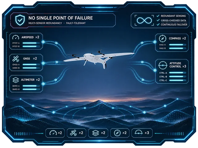
The rest of the fleet
Four eVTOL fixed-wing aircraft and two multirotors, designed and built by ICS. Choose by area and mission.