
Missions / RGB aerial mapping
RGB aerial mapping
High-resolution aerial imagery and 3D surfaces for survey, planning and engineering.
Deliverables, ready to use
Standard file formats that open straight away in the GIS and CAD software your team already uses.
- Orthomosaic (GeoTIFF)
- DSM / DTM
- Contour lines (DWG)
- AI object classification
- 3D mesh (OBJ)
Samples from real ICS jobs
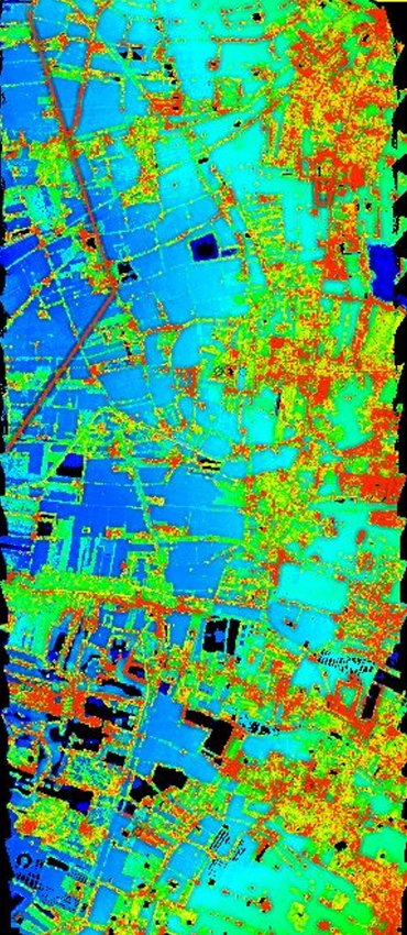
DSM, coloured by height 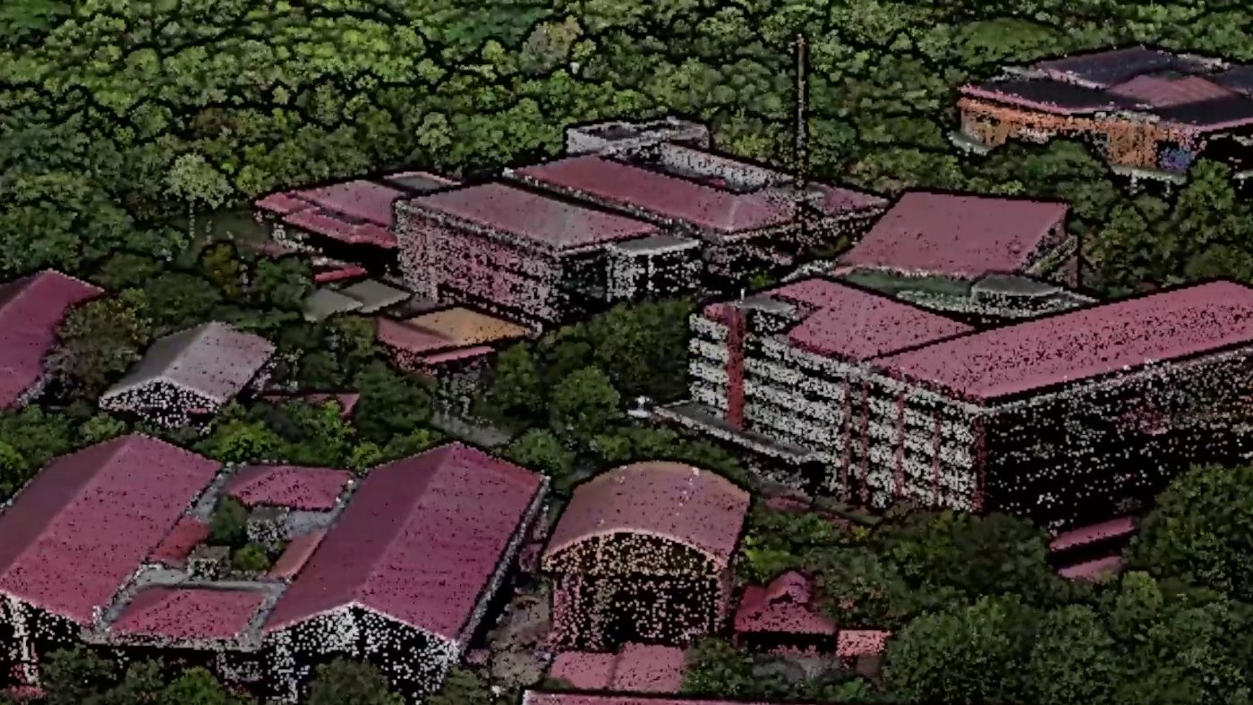
True-colour 3D point cloud, Vilverin VL340 with LiDAR H800 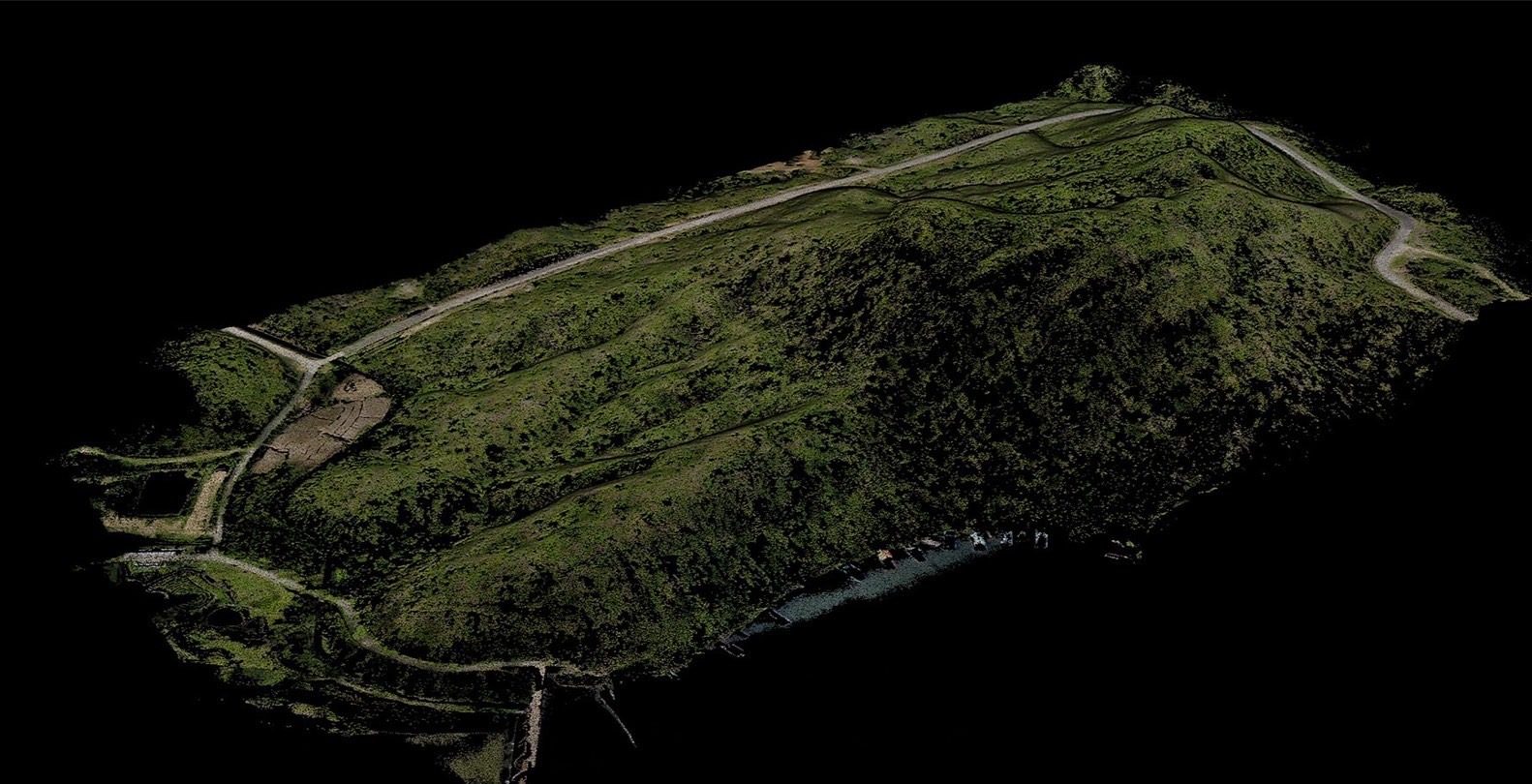
Bare-earth terrain after removing vegetation (DTM) 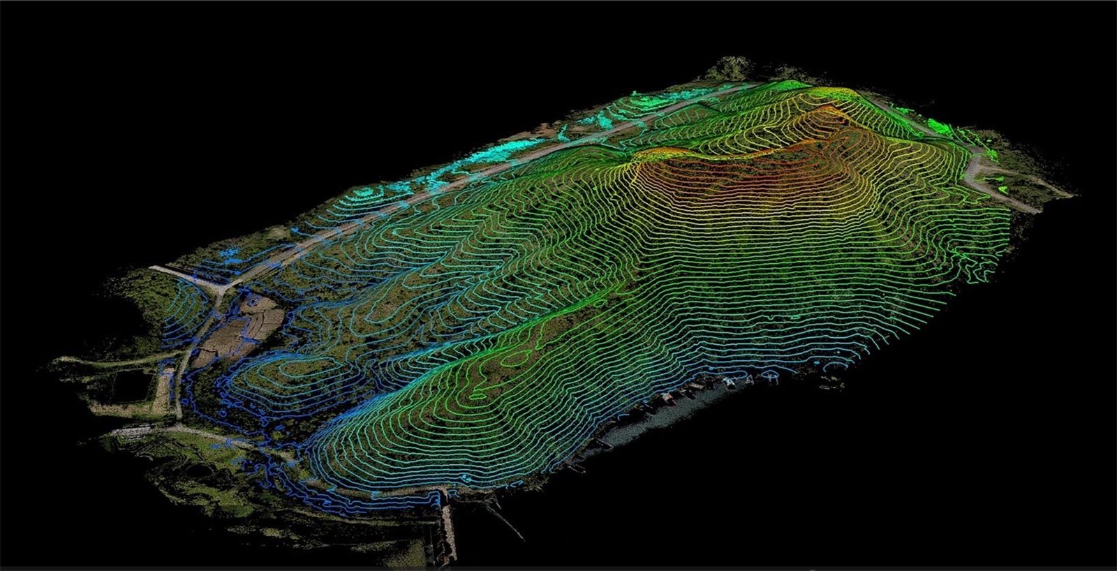
Contours from the same data
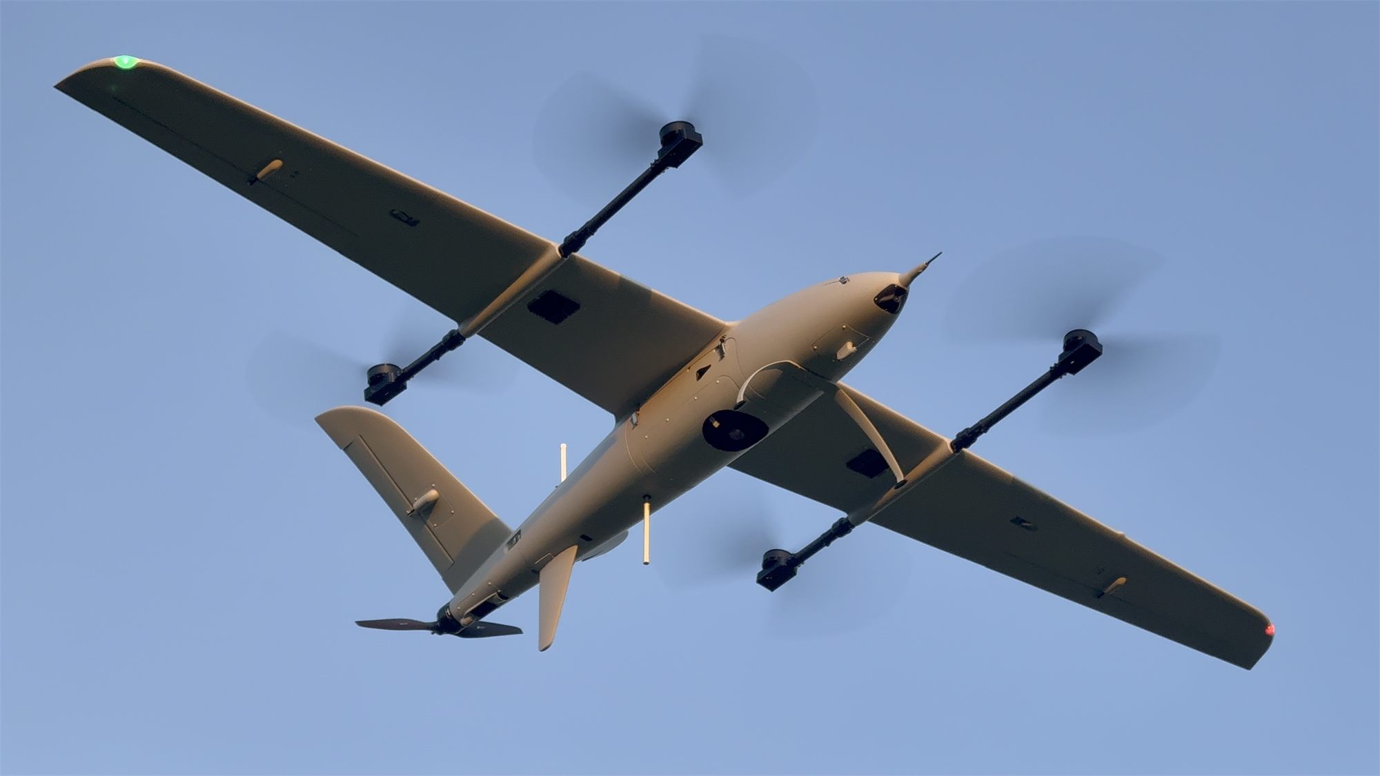
Field track record
Survey flights and on-site training on live jobs with government agencies and state enterprises across Thailand.
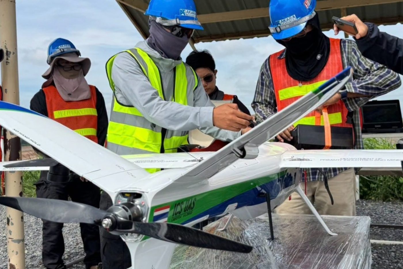
Vertix VL260 handover with on-site training
System set-up, operator training and support through the first live missions
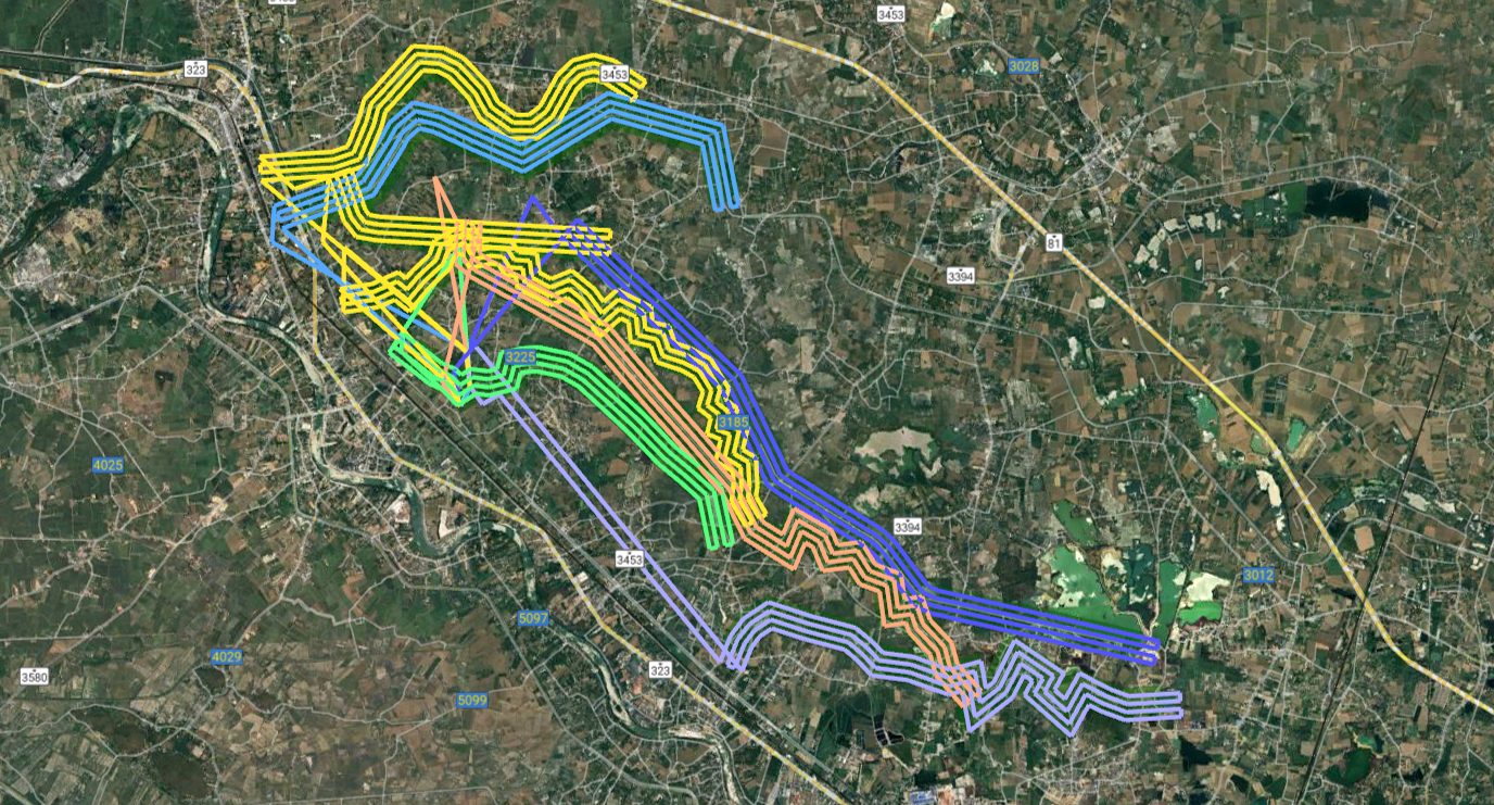 2,000 km
450 km of irrigation canals surveyed
2,000 km flown along the canal network, coordinated with Kamphaeng Saen control tower
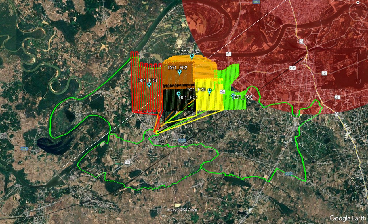 120 km²
 irrigation area beside an airport
Flown in blocks inside approved time windows, coordinated with Ubon Ratchathani tower under a NOTAM
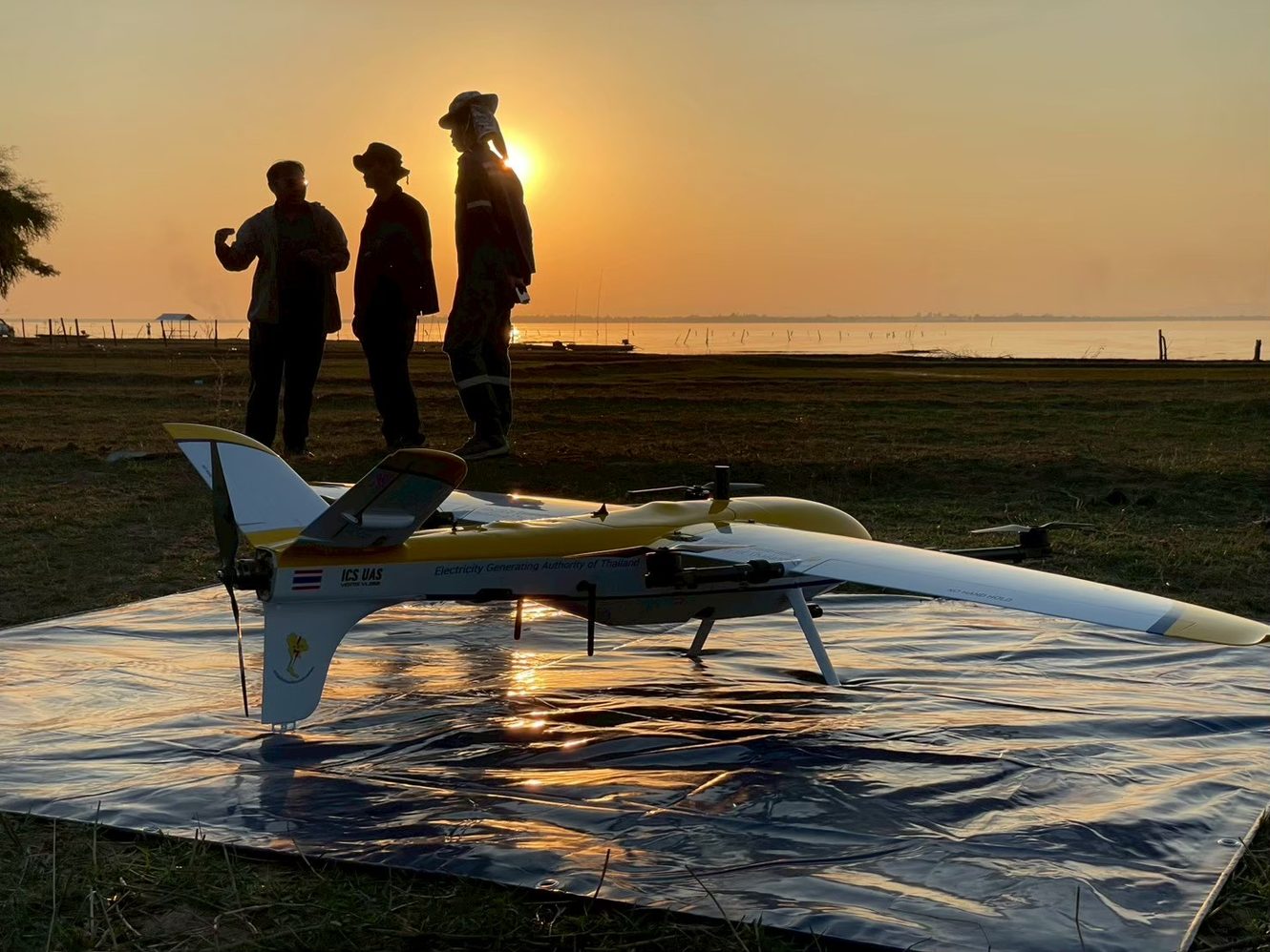
Ubolratana Dam survey
On-site training on a live dam survey
EGAT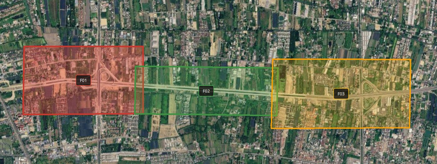
Road inspection
Connecting road between Phutthamonthon Sai 2 and Thawi Watthana, flown in sections
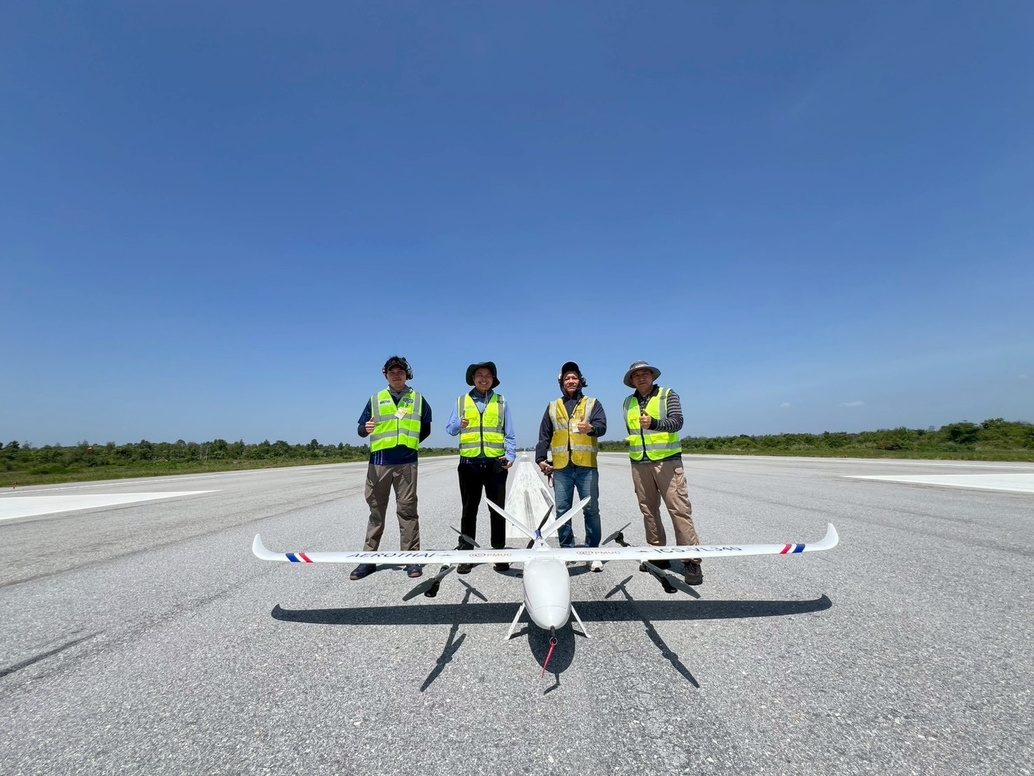
PAPI light check flights
Flight checks of an airfield's precision approach path indicator (PAPI)
AEROTHAI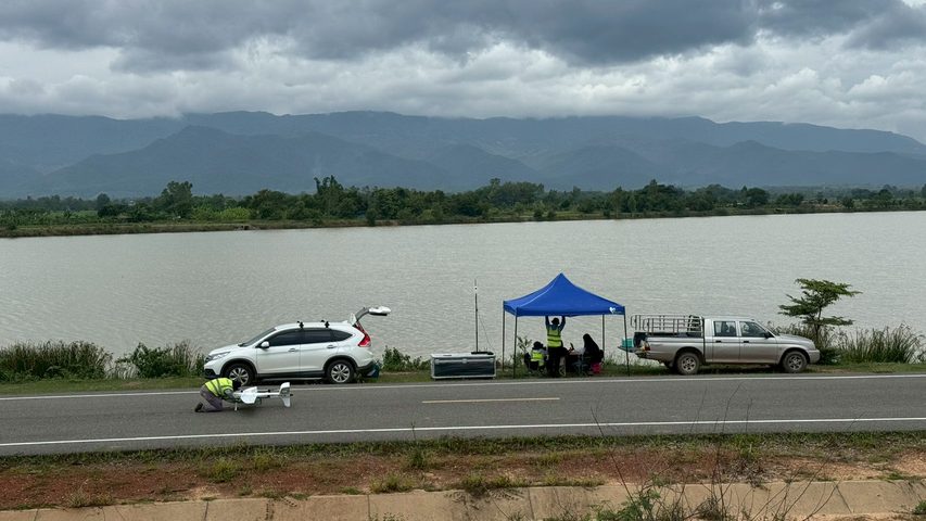
Survey flights in Phayao
On-site training on a live survey
BAR9 SE
Why eVTOL: coverage per day
Figures from ICS operation and mapping-for-service work. Change flight height and overlap to see how GSD and area per day change for each aircraft.
A 100 km² survey
Done in 3 days, not 10
- Fewer launch-site moves (each takes 30-60 minutes)
- Fewer battery swaps and faster pre-flight checks
- About 2× higher cruise speed (23 vs 12 m/s), continuous coverage
What you get back from a flight
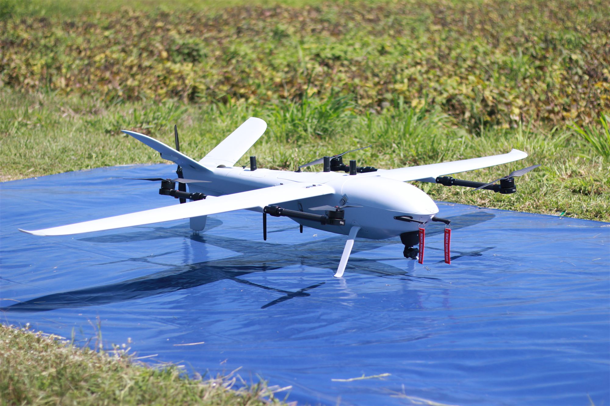 01
Fly
VL260 flies 5 sorties a day, about 6.5 km² each, taking off vertically from a small clearing.
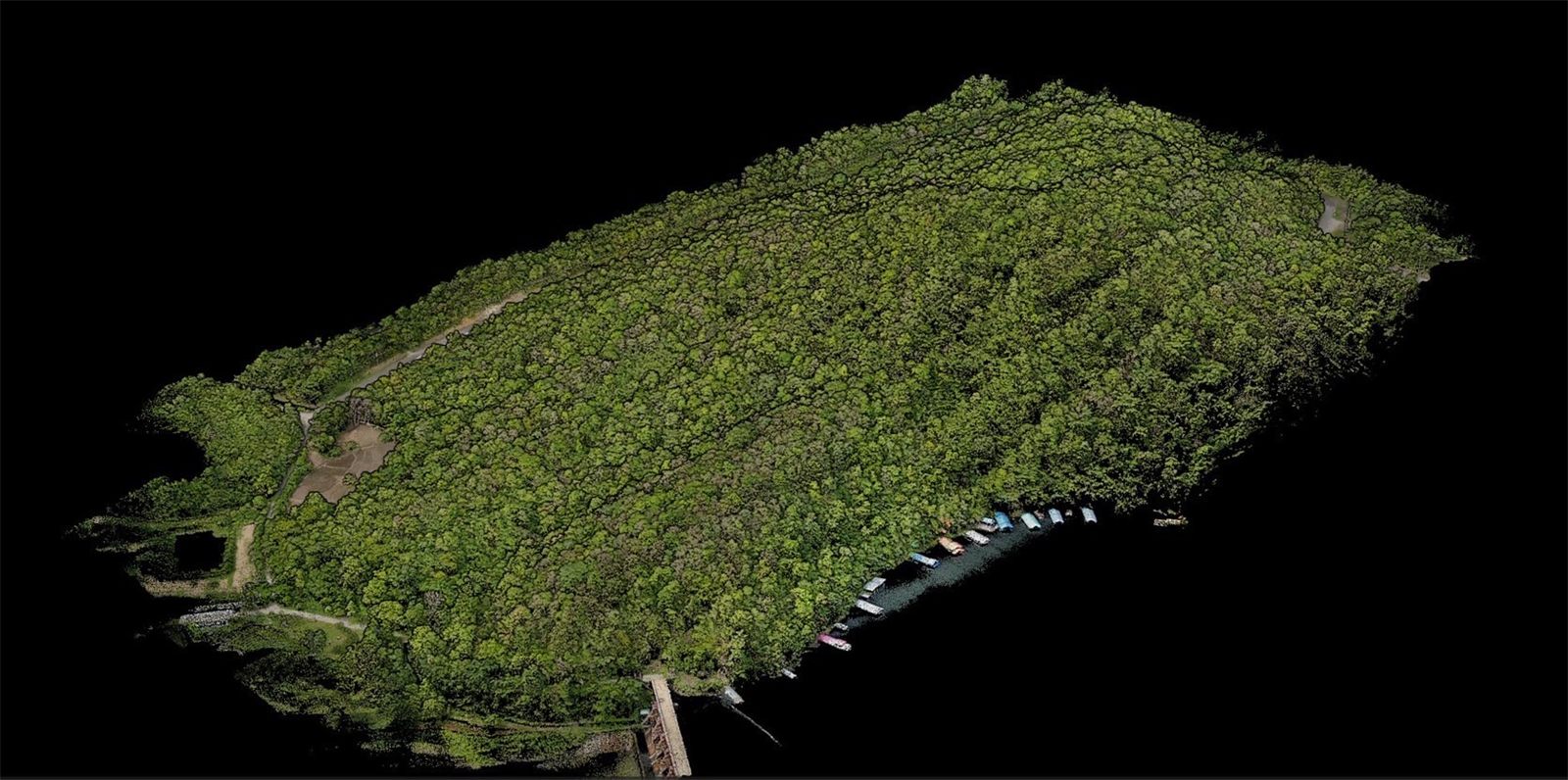 02
3D point cloud
Every point on the site becomes a 3D coordinate: trees, roads and the waterline.
- 03
Ground under the canopy
Strip the trees to the bare ground, showing tracks and gullies a photo cannot see.
- 04
Contours
Ready for design, cut-and-fill volumes and drainage layout.
* Compared with an enterprise-grade multirotor, which flies longer and faster than a standard drone. A standard drone takes longer still.
Days: Sony ILX-LR1 40 mm, 300 m, 70/80% overlap, 25% battery reserve · Images 2–4: real ICS LiDAR output
Request a flight demo
Enter your mission and area to see the right aircraft and a rough time estimate, then send it to our engineers to prepare an on-site demo.