
Payloads tested and already sold
Every payload on this page has been tested on ICS aircraft with its maker and is already in customers' hands, so you can count on it working. Pick the sensor for the job, then see which aircraft carries it.
What fits which aircraft
Tap an aircraft to see only the payloads it carries.
| Payload | |||||
|---|---|---|---|---|---|
| RGB mapping cameras | |||||
| Sony ILX-LR1 | ✓ | ✓ | ✓ | ✓ | ✓ |
| Riebo R10PS-50 | – | ✓ | ✓ | ✓ | – |
| Multispectral cameras | |||||
| MicaSense RedEdge-P | ✓ | ✓ | ✓ | ✓ | ✓ |
| MicaSense Altum-PT | – | ✓ | ✓ | ✓ | ✓ |
| LiDAR | |||||
| GreenValley LiAir H600 | – | ✓ | ✓ | ✓ | ✓ |
| GreenValley LiAir H600 Pro | – | ✓ | ✓ | ✓ | ✓ |
| GreenValley LiAir H800 | – | – | ✓ | ✓ | ✓ |
| CHCNAV AlphaAir 6 | – | ✓ | ✓ | ✓ | ✓ |
| Oblique cameras | |||||
| Riebo D2M | – | ✓ | ✓ | ✓ | ✓ |
| Riebo DG4M3 | – | ✓ | ✓ | ✓ | – |
RGB mapping cameras
Full-frame for everyday mapping; medium format for finer detail, or a wider swath at the same GSD.
- Orthomosaic (GeoTIFF)
- DSM / DTM
- Contour lines (DWG)
- 3D mesh (OBJ)
- AI object classification
| Item | 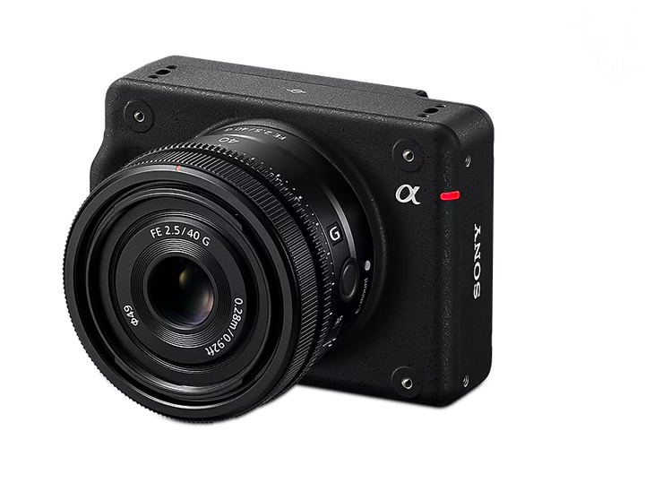 SonyILX-LR161 MP full-frame. Main mapping camera; default sensor in the survey planner. | 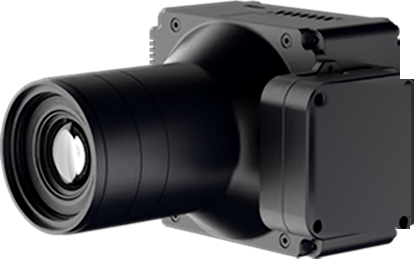 RieboR10PS-50102 MP medium format: finer detail at the same height, or a wider swath at the same GSD. |
|---|---|---|
| Sensor | Full-frame 35.7 × 23.8 mm | Medium format 43.8 × 32.8 mm |
| Resolution | 61 MP | 102 MP |
| Pixel size | 3.76 µm | 3.76 µm |
| Lens | 40 mm (E-mount) | 50 mm F5.6 |
| Fastest shot interval | 0.33 s | 0.5 s |
| Camera weight | 243 g | 354.7 g |
| GSD at 300 m | 2.82 cm | 2.26 cm |
| Swath at 300 m | 268 m | 263 m |
| Fits | Avix GN220Vertix VL260Vilverin VL340Voxel MXXtrix VL390 | Vertix VL260Vilverin VL340Xtrix VL390 |
Multispectral cameras
Crop health, moisture and stress from light the eye cannot see. Altum-PT adds a thermal camera.
- Plant-health map (NDVI)
- Orthomosaic (GeoTIFF)
| Item | 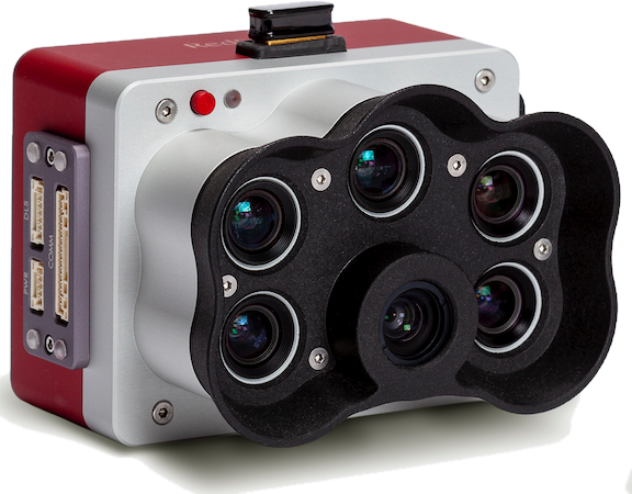 MicaSenseRedEdge-P5 bands + panchromatic, for agriculture and vegetation. | 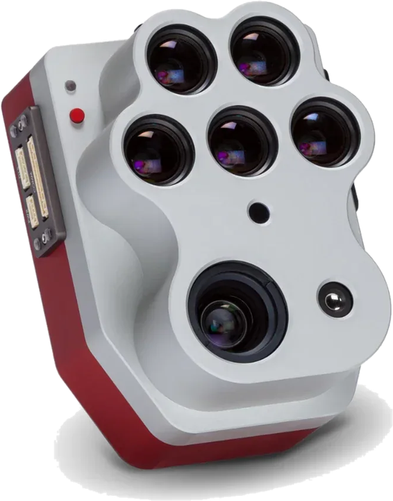 MicaSenseAltum-PTMultispectral and thermal in one sensor. |
|---|---|---|
| Bands | Blue, Green, Red, Red Edge, NIR | Blue, Green, Red, Red Edge, NIR |
| Resolution per band | 1.6 MP | 3.2 MP |
| Panchromatic | 5.1 MP | 12 MP |
| Thermal | – | 320 × 256 |
| GSD at 120 m (panchromatic) | 3.98 cm | 2.49 cm |
| Capture rate | 3 per second | 2 per second |
| Weight | 350 g | 577 g |
| Fits | Avix GN220Vertix VL260Vilverin VL340Voxel MXXtrix VL390 | Vertix VL260Vilverin VL340Voxel MXXtrix VL390 |
LiDAR
Medium range for general work and canopy penetration; long range to fly higher over steep ground and cover more per flight.
- Point cloud (LAS/LAZ)
- DSM / DTM
- Volume report
- Elevation profile
| Item | 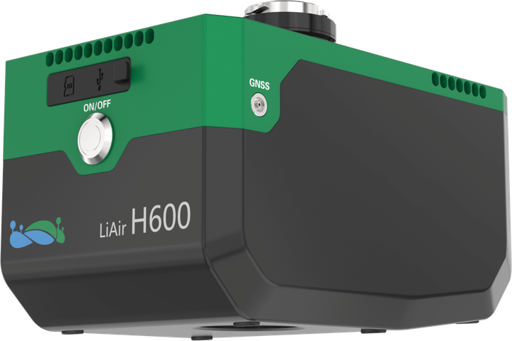 GreenValleyLiAir H600Medium range: general work, canopy penetration, ground under forest. | 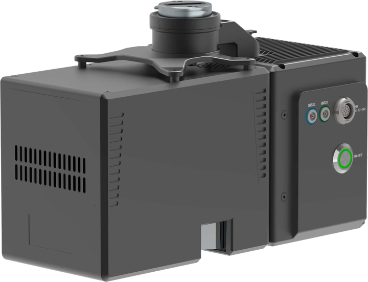 GreenValleyLiAir H600 ProMedium range with almost twice the H600's reach. | 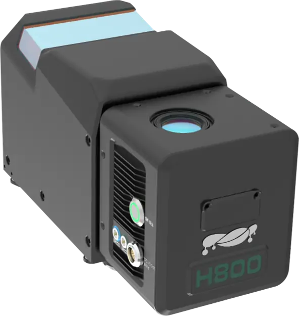 GreenValleyLiAir H800Long range: fly higher, cover more per flight. | 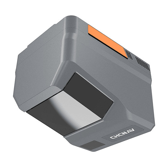 CHCNAVAlphaAir 6Long range at 1.35 kg: the first long-range LiDAR that fits the Vertix VL260. |
|---|---|---|---|---|
| Max range (80% reflectivity) | 750 m | 1,200 m | 1,000 m | 2,100 m |
| Max range (10% reflectivity) | 267 m | 450 m | 350 m | 960 m |
| Points per second (max) | 550,000 | 1,000,000 | 2,000,000 | 2,000,000 |
| Field of view | 80 ° | 80 ° | 100 ° | 90 ° |
| Accuracy | ±5 cm @ 200 m(vertical, whole system) | ±5 cm @ 200 m(vertical, whole system) | ±5 cm @ 200 m(vertical, whole system) | ±15 mm(ranging) |
| Built-in camera | 26 MP | 26 MP | 26 MP | 25 / 100 MP |
| Weight | 1.3 kg | 1.62 kg | 2.25 kg | 1.35 kg |
| Fits | Vertix VL260Vilverin VL340Voxel MXXtrix VL390 | Vertix VL260Vilverin VL340Voxel MXXtrix VL390 | Vilverin VL340Voxel MXXtrix VL390 | Vertix VL260Vilverin VL340Voxel MXXtrix VL390 |
- AlphaAir 6 weighs only 1.35 kg, the first long-range LiDAR that fits the Vertix VL260 (2 kg payload).
- GreenValley lists the Vilverin VL340 as a compatible platform in its LiAir H800 datasheet, after joint testing.
Oblique cameras
Several lenses shoot several angles at once for 3D models of towns and buildings.
- 3D mesh (OBJ)
| Item | 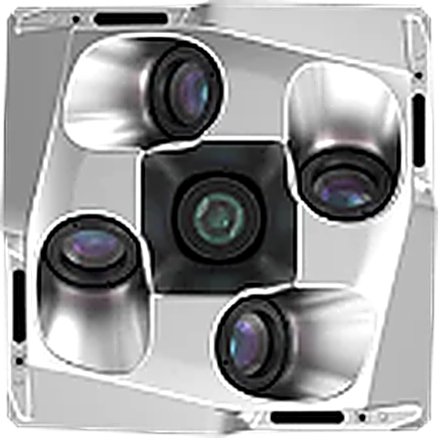 RieboD2MMulti-lens oblique camera for cadastral-grade 3D models. | 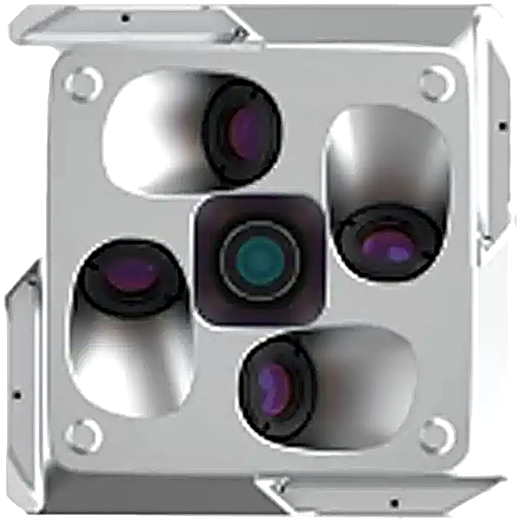 RieboDG4M3Oblique camera for urban and building survey. |
|---|---|---|
| Resolution | 130 MP(all lenses combined) | 225 MP(all lenses combined) |
| Lenses | 5 | 5 |
| Sensor | APS-C 23.5 × 15.6 mm | Full-frame 36 × 24 mm |
| Focal length | 25 / 35 mm | 40 / 56 mm(nadir / oblique) |
| Field of view (H × V) | 50° × 37° / 36° × 25°(25 / 35 mm lens) | 48.46° × 35.64° / 33.40° × 24.19°(40 / 56 mm lens) |
| Size | 105 × 105 × 87 mm | 144.5 × 144.5 × 113.5 mm |
| Fits | Vertix VL260Vilverin VL340Voxel MXXtrix VL390 | Vertix VL260Vilverin VL340Xtrix VL390 |
Photos from real work
A selection from payload tests and deliveries on ICS aircraft, with makers and customers.
Vilverin VL340 with a CHCNAV AlphaAir LiDAR Vilverin VL340 with a GreenValley LiAir H800 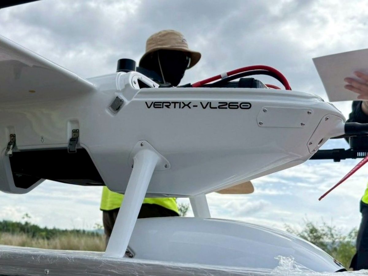
Vertix VL260 with a GreenValley LiAir H600 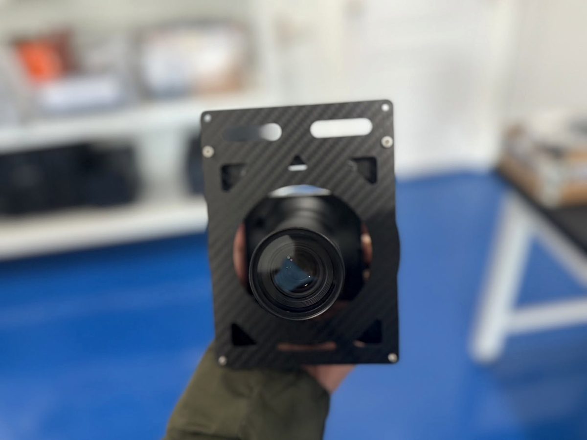
Riebo R10PS camera for the Vertix VL260 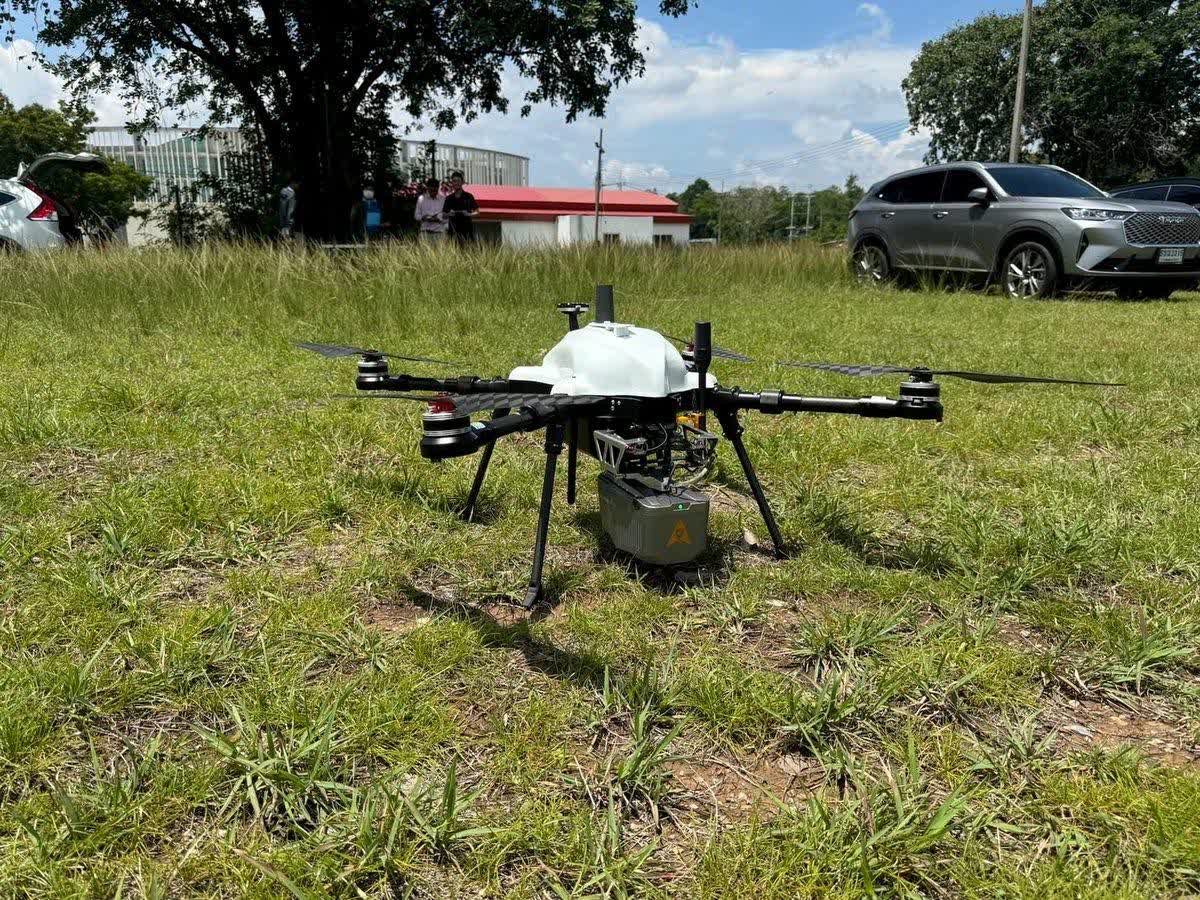
Voxel MX with a CHCNAV AlphaAir LiDAR 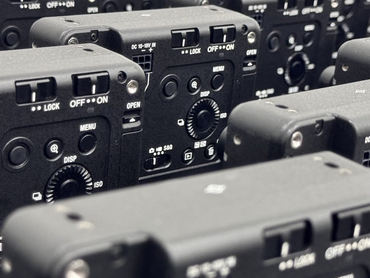
Sony ILX-LR1 cameras ready to ship with ICS aircraft. Customers trust our quality and support.
Not sure which sensor fits the job?
Tell us the area, the resolution you need and what you must deliver; we recommend the aircraft and payload.
Specifications from each maker's documents (CHCNAV, GreenValley, MicaSense, Riebo and Sony); – means the maker does not state it. Calculated rows use pixel size and lens; they are not flight results. Makers may change specifications without notice.