Fleet / Vilverin VL340
Vilverin VL340
The sweet spot for two missions in one aircraft
- Endurance, no payload
- 150min
- Maximum payload
- 3.5kg
- Wingspan
- 3,610mm
- Distance flown per flight
- 130+km
Best for
Large-area survey and ISR at 25-35 km
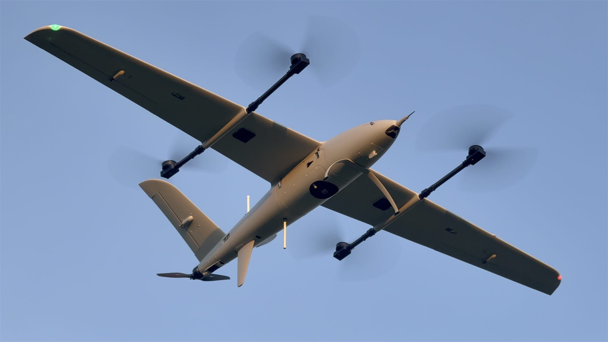
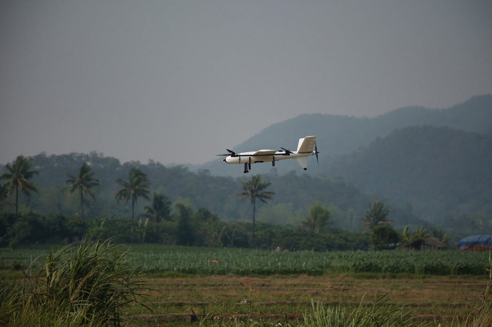
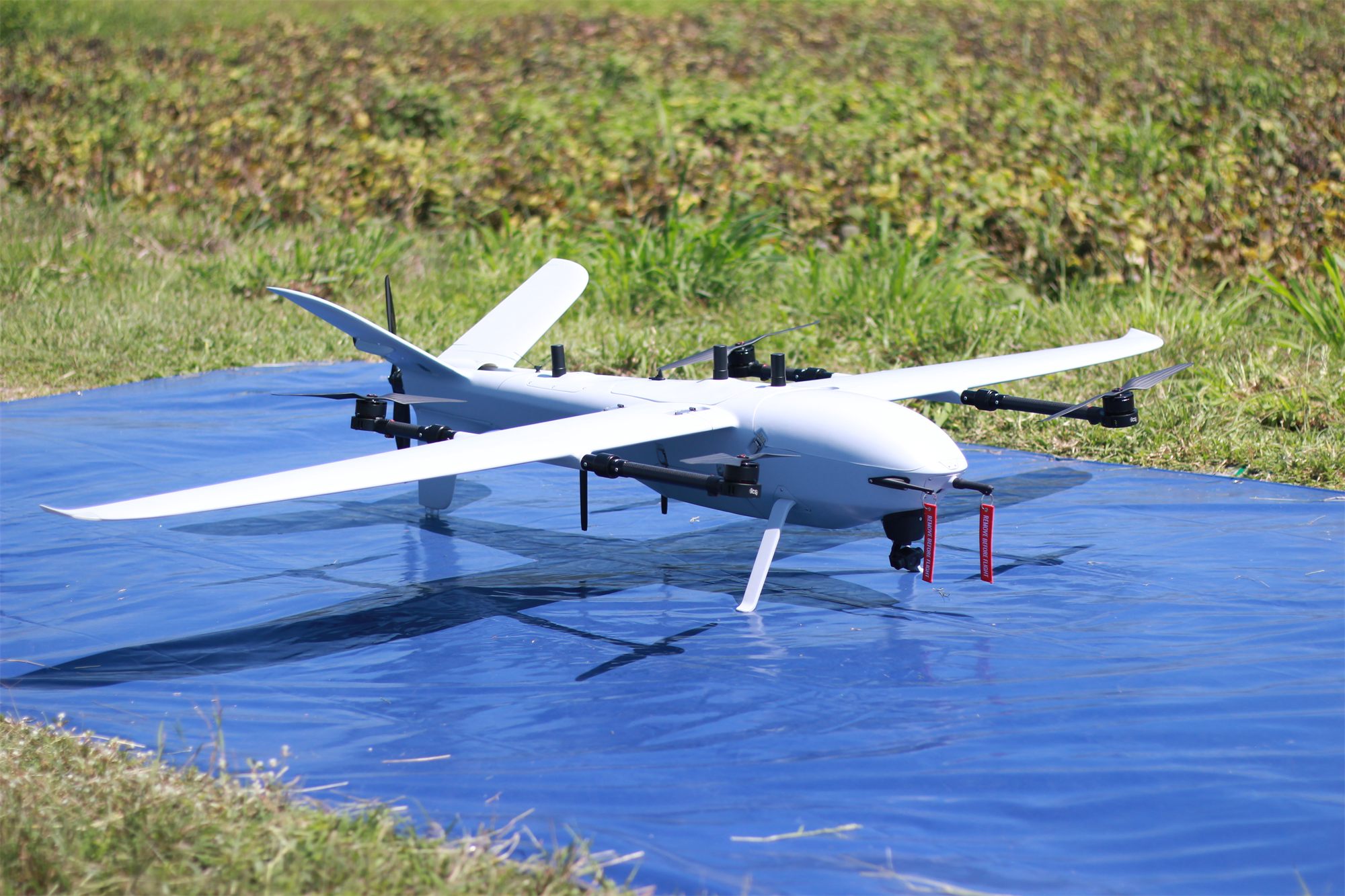
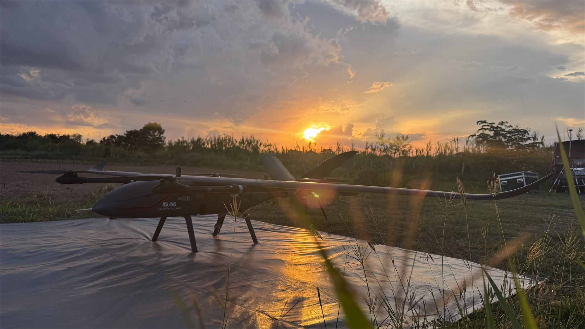
High-performance hybrid eVTOL with winglets and a dihedral V-tail for stable, long-endurance flight. Up to 2.5 hours in the air and more than 120 km travelled, with a modular payload bay.
Technical specifications
| Airframe and weight | |
|---|---|
| Airframe material | Carbon fiber and fiberglass |
| Wingspan | 3,610 mm |
| Fuselage length | 1,740 mm |
| Max. takeoff weight (MTOW) | 21.5 kg |
| Maximum payload | 3.5 kg |
| Flight performance | |
| Endurance, no payload | 150 min1 |
| Mapping endurance (RGB camera) | 105 min2 |
| Cruise speed | 21–24 m/s |
| Maximum speed | 30 m/s |
| Maximum climb / descent | 5 m/s |
| Distance flown per flight | 130+ km |
| Coverage per flight | 8.5 km²3 |
| ISR operating range | 25–35 km |
| Wind and altitude | |
| Wind resistance, VTOL | 8.3 m/s4 |
| Wind resistance, cruise | 13.8 m/s5 |
| Maximum takeoff altitude | 3,000 m AMSL |
| Service ceiling | 4,500 m AMSL |
| Normal operating altitude | 120–2,000 m AGL |
| Systems and operation | |
| Battery | 12S lithium high-voltage ×1 |
| Assembly time | < 5 min |
| Industrial-grade flight control sensors | |
|---|---|
| IMU (accelerometer + gyroscope) | ×3 |
| Magnetometer (compass) | ×2 |
| Barometer | ×2 |
| Airspeed sensor | ×2 |
| Dual-band GNSS receiver | ×2 |
| RTK support | GNSS base station or NTRIP |
| PPK GNSS for aerial mapping | ×1 (optional) |
| Laser altimeter (downward‑facing) | ×1 |
| Forward laser rangefinder (obstacle sensing) | ×1 (optional) |
| Thermal calibration and compensation | Yes |
- 1 Flight test in a windless environment at 100 m AMSL until battery reaches 5%. Actual flight time varies with flight method and scenario.
- 2 Normal operation: mapping with RGB camera, landing with 25% battery reserve (the practical working range).
- 3 At the standard mapping parameters: Sony ILX-LR1 40 mm camera (fits every ICS aircraft), 300 m flying height, 70% side and 80% front overlap, 25% battery reserve.
- 4 Beaufort level 4
- 5 Beaufort level 6
Supported payloads
RGB mapping cameras
Sony ILX-LR1
61 MP full-frame. Main mapping camera; default sensor in the survey planner.
- Resolution
- 61 MP
- Sensor
- Full-frame 35.7 × 23.8 mm
- Fastest shot interval
- 0.3 s
- Camera weight
- 243 g
- GSD at 300 m
- 2.82 cm
Riebo R10PS-50
102 MP medium format: finer detail at the same height, or a wider swath at the same GSD.
- Resolution
- 102 MP
- Sensor
- Medium format 43.8 × 32.8 mm
- Fastest shot interval
- 0.5 s
- Camera weight
- 354.7 g
- GSD at 300 m
- 2.26 cm
Multispectral cameras
MicaSense RedEdge-P
5 bands + panchromatic, for agriculture and vegetation.
- Bands
- Blue, Green, Red, Red Edge, NIR
- Resolution per band
- 1.6 MP
- Capture rate
- 3 per second
- Weight
- 350 g
MicaSense Altum-PT
Multispectral and thermal in one sensor.
- Bands
- Blue, Green, Red, Red Edge, NIR
- Resolution per band
- 3.2 MP
- Capture rate
- 2 per second
- Weight
- 577 g
LiDAR
GreenValley LiAir H600
Medium range: general work, canopy penetration, ground under forest.
- Max range (80% reflectivity)
- 750 m
- Points per second (max)
- 550,000
- Built-in camera
- 26 MP
- Weight
- 1.3 kg
GreenValley LiAir H600 Pro
Medium range with almost twice the H600's reach.
- Max range (80% reflectivity)
- 1,200 m
- Points per second (max)
- 1,000,000
- Built-in camera
- 26 MP
- Weight
- 1.62 kg
GreenValley LiAir H800
Long range: fly higher, cover more per flight.
- Max range (80% reflectivity)
- 1,000 m
- Points per second (max)
- 2,000,000
- Built-in camera
- 26 MP
- Weight
- 2.25 kg
Oblique cameras
Riebo D2M
Multi-lens oblique camera for cadastral-grade 3D models.
- Resolution
- 130 MP (all lenses combined)
- Lenses
- 5
- Sensor
- APS-C 23.5 × 15.6 mm
Riebo DG4M3
Oblique camera for urban and building survey.
- Resolution
- 225 MP (all lenses combined)
- Lenses
- 5
- Sensor
- Full-frame 36 × 24 mm
Surveillance and other
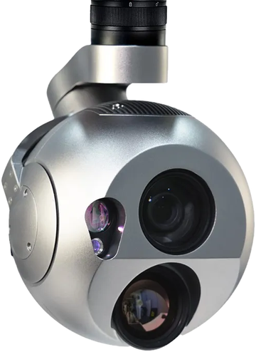 EO/IR LRF Tracking & AI
Software
Standards


Eight layers of fail-safe
Motor out, a faulty wing servo, spoofed GNSS: every case has an automatic response engineered by ICS.
See every safety system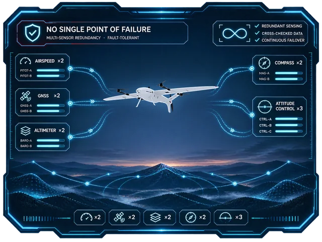 01No single point of failure
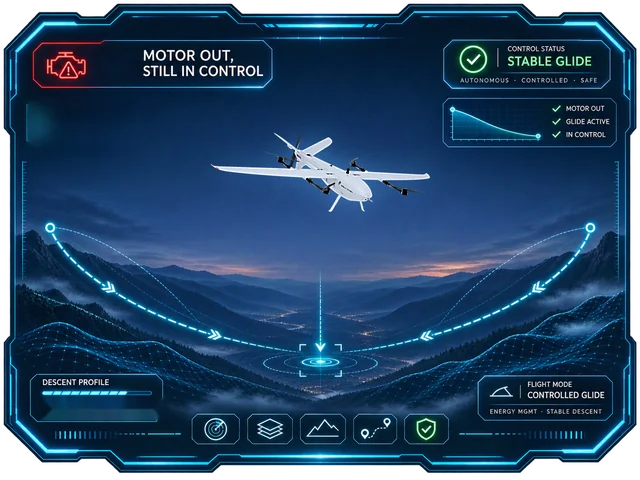 02Motor out, still in control
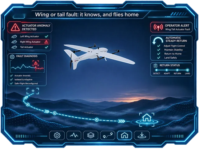 03Wing or tail fault: it knows, and flies home
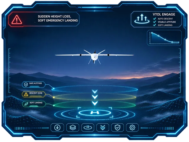 04Sudden height loss, soft emergency landing
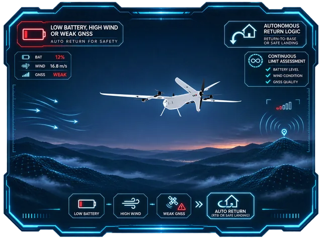 05Low battery, high wind or weak GNSS: it comes home on its own
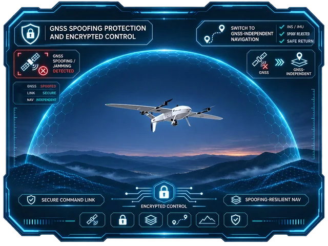 06GNSS spoofing protection and encrypted control
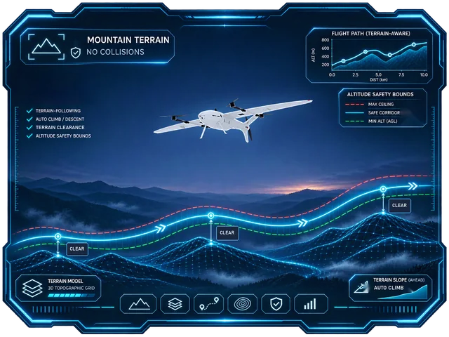 07Mountain terrain, no collisions
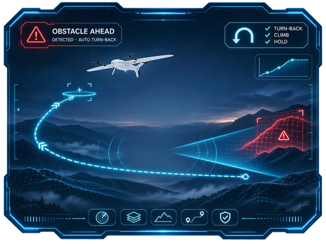 08Obstacle ahead: it turns back (optional)
The rest of the fleet
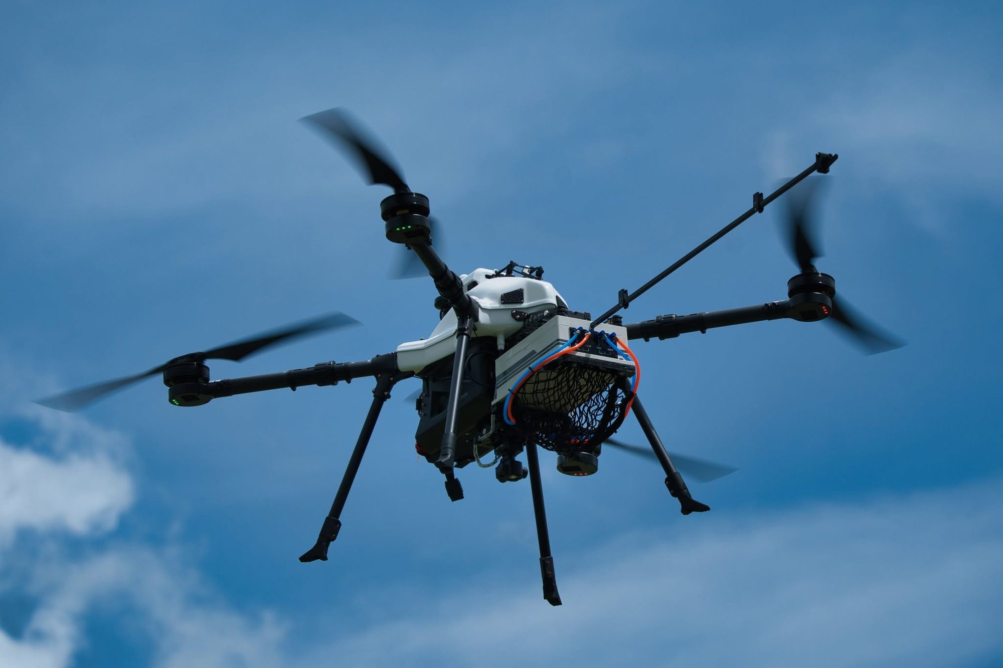
Four eVTOL fixed-wing aircraft and two multirotors, designed and built by ICS. Choose by area and mission.