
Missions / Thermal & hotspot inspection
Thermal & hotspot inspection
Find wildfire hotspots and fire lines, industrial heat leaks, and abnormal hotspots on solar farms and powerlines.
Deliverables, ready to use
Georeferenced thermal maps and hotspot reports that open in the GIS software your team already uses.
- Thermal map
- Hotspot report
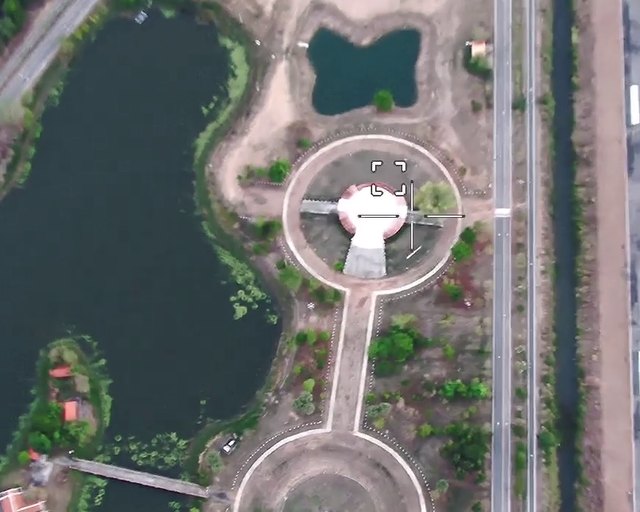
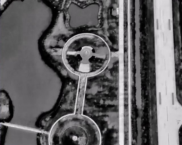
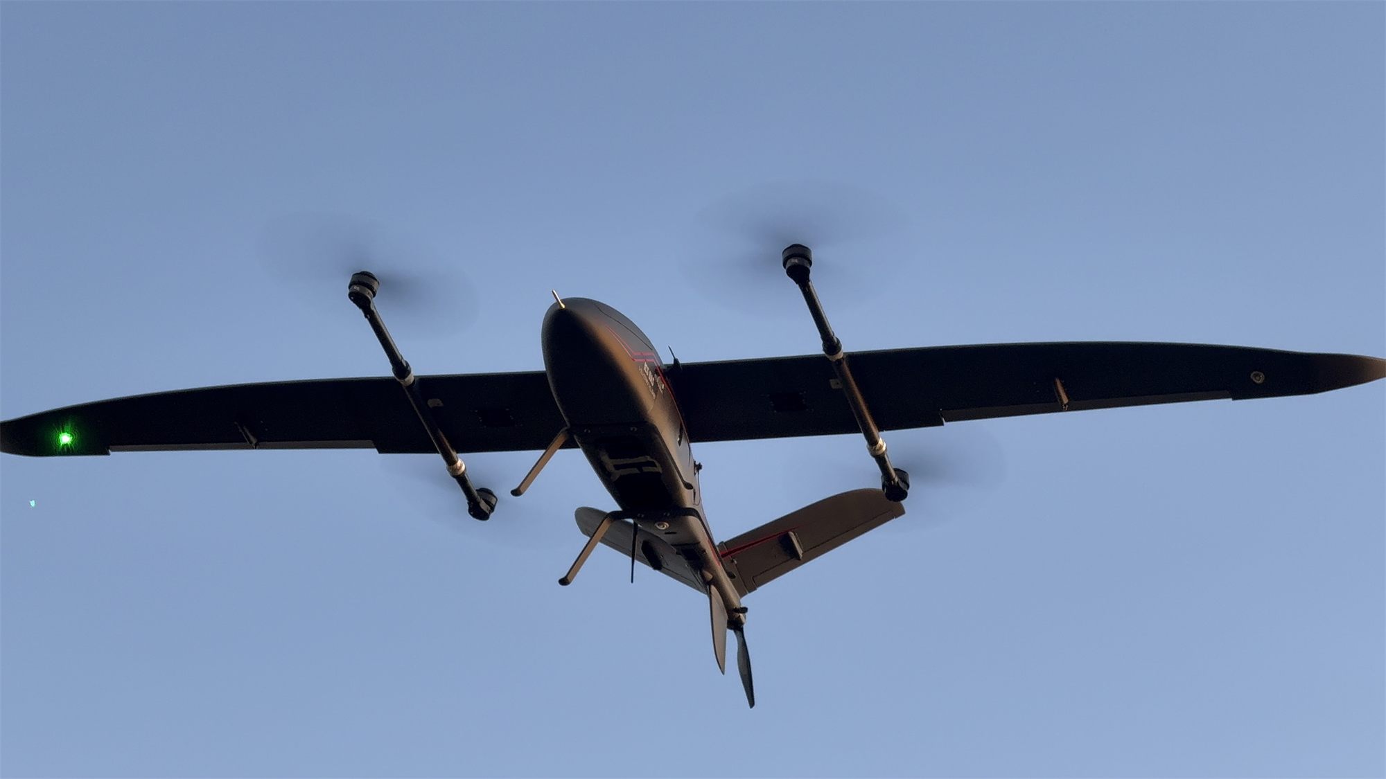
Field track record
Survey flights and on-site training on live jobs with government agencies and state enterprises across Thailand.
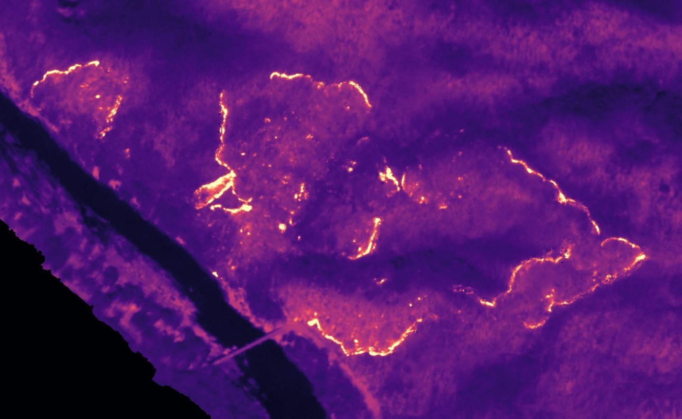 Thermal
Forest-fire survey with a thermal camera
On-site training on a live survey: fire lines and hot spots in a national park
Request a flight demo
Enter your mission and area to see the right aircraft and a rough time estimate, then send it to our engineers to prepare an on-site demo.