
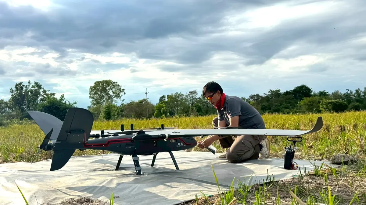
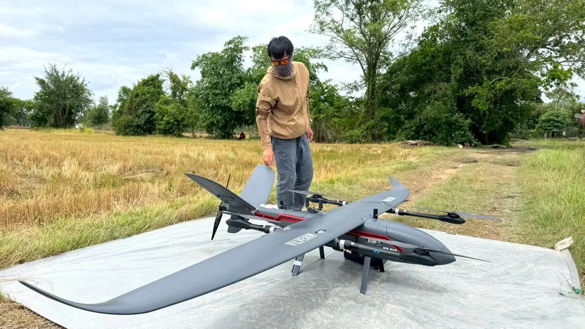
An ICS Vilverin VL340 VTOL carrying a GreenValley H800 LiDAR flew aerial mapping for a customer.
We flew an ICS Vilverin VL340 VTOL unmanned aircraft carrying a GreenValley H800 LiDAR to map an area from the air for a customer in Chiang Mai.
Thank you to Deeprom Survey, the GreenValley (USA) LiDAR dealer, for working with us on this flight.
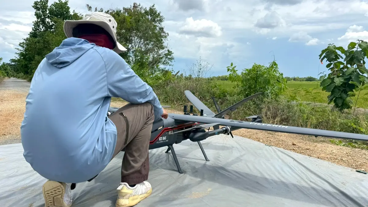
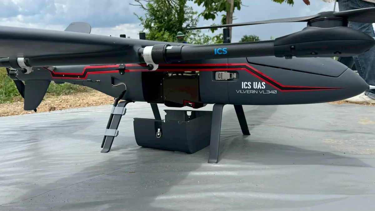
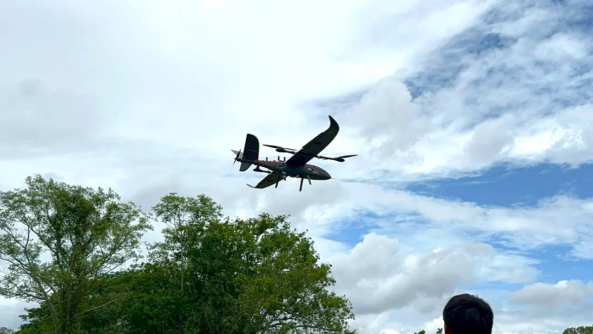
From Innovation to Infrastructure
Interested in UAV solutions for survey, mapping and emergency missions? Talk to the iCreativeSystems UAV team.