
✨ A new face of surveying: high-resolution drone cameras plus AI
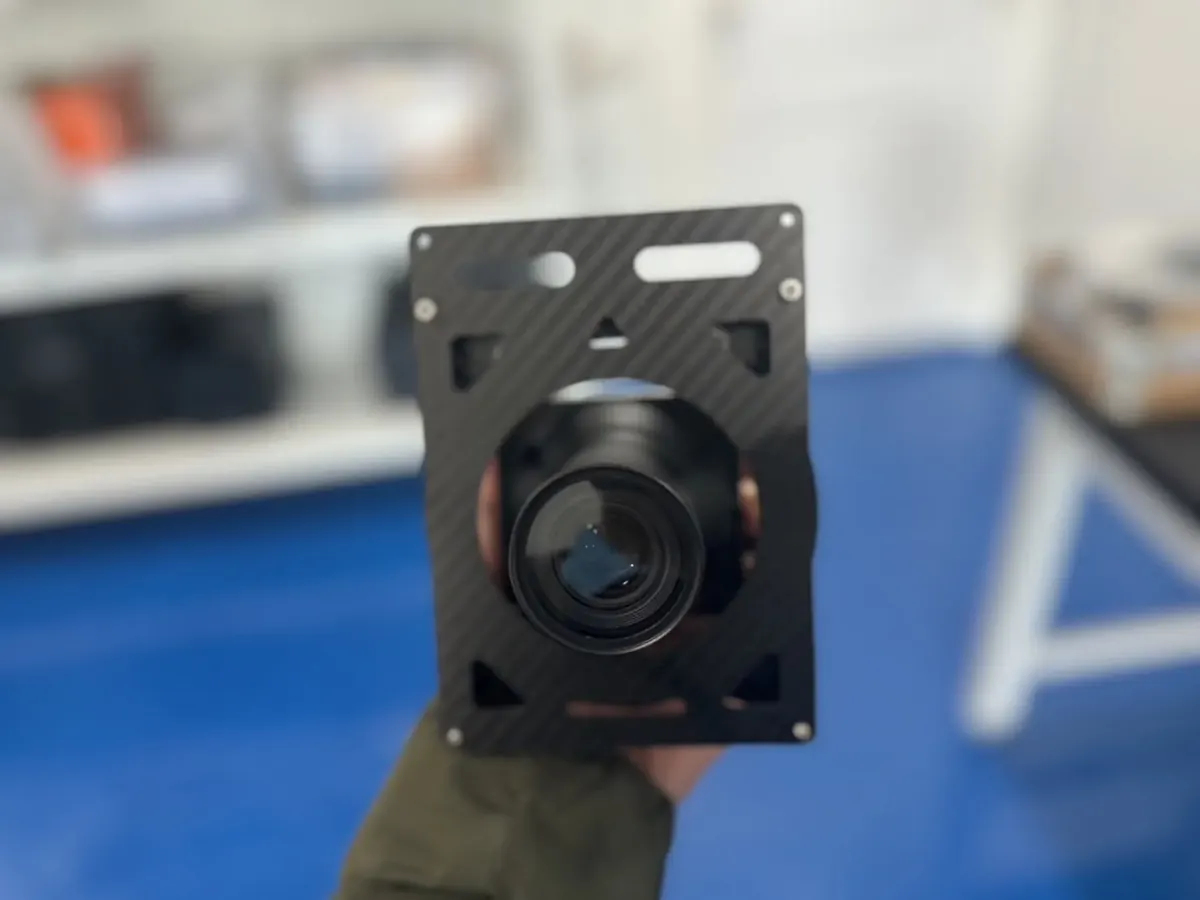
Remote sensing gathers information through light at different wavelengths and other electromagnetic waves, mostly as aerial or satellite images that are then classified and analysed. One technology now changing industries that rely on aircraft and satellite imagery is drone photography with medium-format cameras, whose resolution today reaches 102 to 150 MP. From altitude, a drone carrying one can cover up to 30 square kilometres in a single flight (or more, depending on the image sharpness and map accuracy the job needs).
A medium-format camera has a large sensor that gathers more light, records more detail, keeps noise low and distorts the image less than the full-frame or APS-C sensors common in engineering work today, so maps made with it are highly accurate even from high altitude. The images are also sharper and more detailed than satellite images, which makes them well suited to analysis with AI and machine learning. High-accuracy GNSS with RTK/PPK correction is an essential part of this work too.
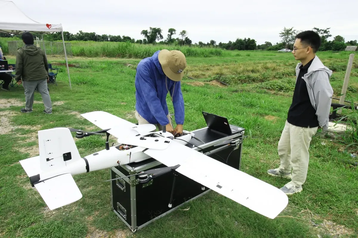
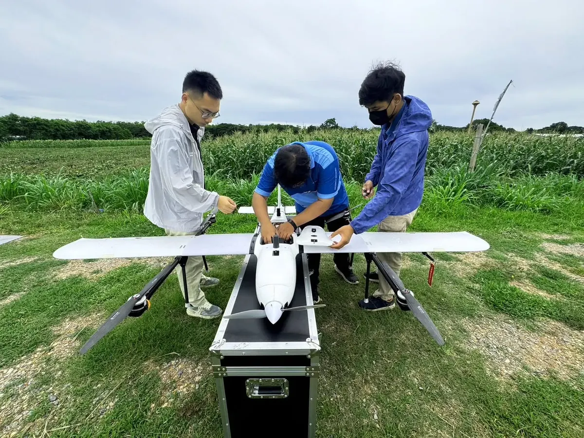
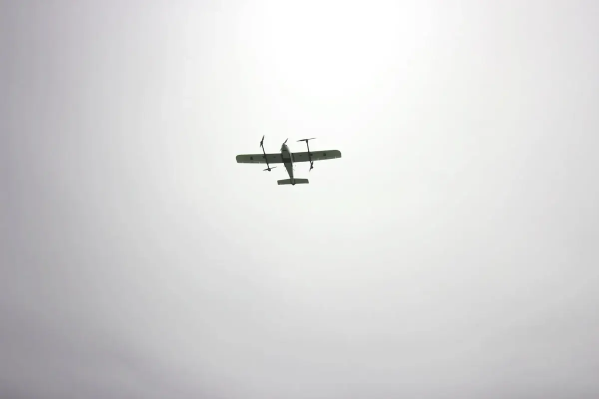
iCreativeSystems therefore flew its Vertix VL260 VTOL with Riebo, the Chinese maker of survey cameras for drones, to assess the system’s capability and the accuracy of the resulting aerial maps, keeping pace with a fast-changing technology.
From Innovation to Infrastructure
Interested in UAV solutions for survey, mapping and emergency missions? Talk to the iCreativeSystems UAV team.