
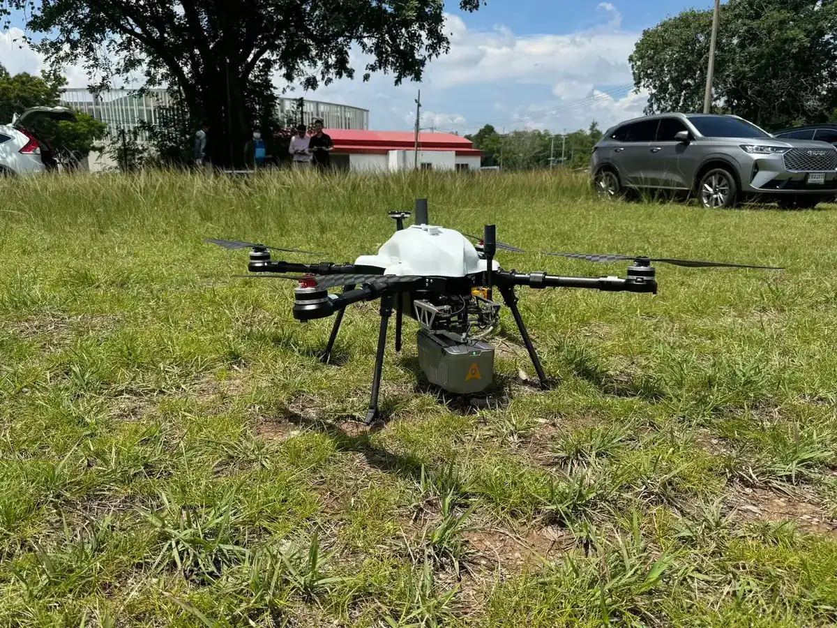
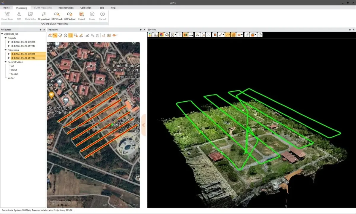
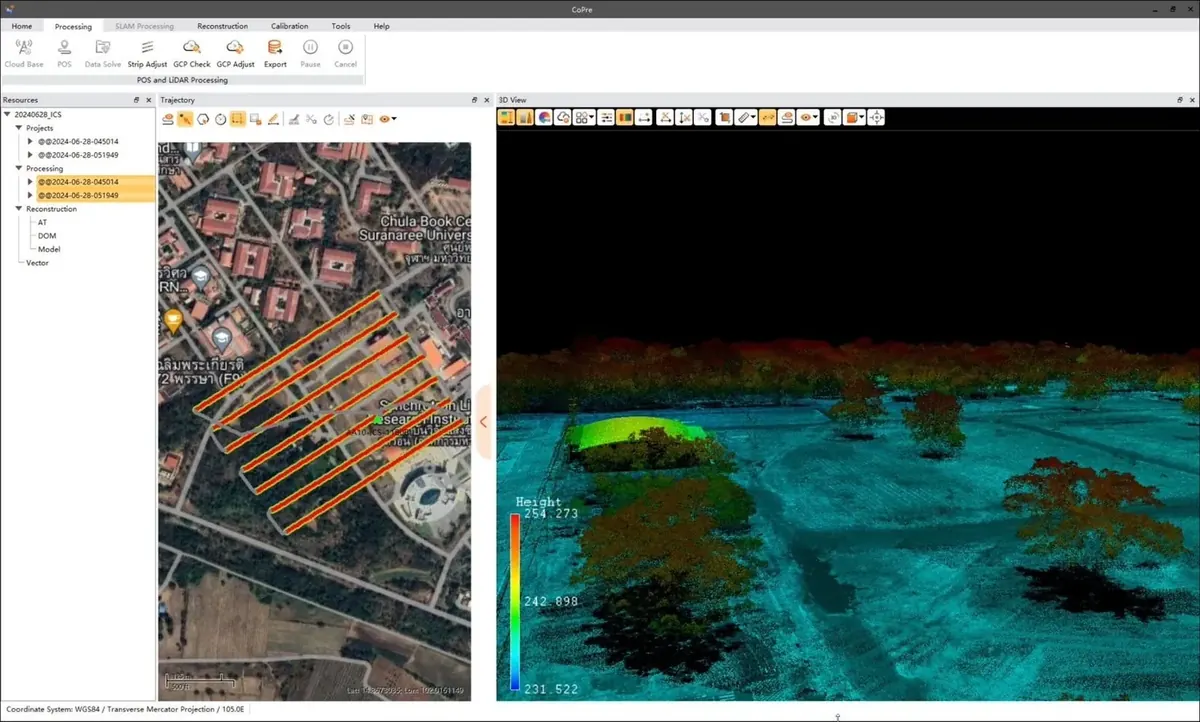
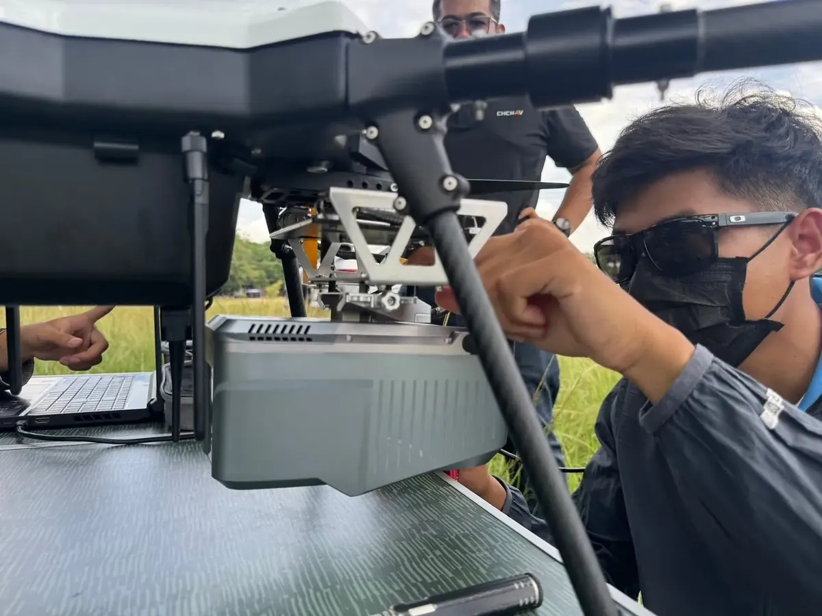
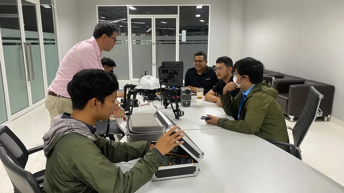
✨ iCreativeSystems (ICS) fitted the Voxel MX, a UAV we developed, with an AlphaAir LiDAR scanner from CHC Navtech (Thailand) (CHCNAV) and tested them together. The AlphaAir is a high-performance survey LiDAR with a full-frame camera, so one flight collects the data for an orthomosaic map and a colourised point cloud.
The ICS Voxel MX carries payloads of up to 3.5 kg and flies for more than 75 minutes without a payload. It is more stable than before and works well with high-end payloads such as UAV LiDAR, covering more ground per survey flight for terrain, urban, forestry and carbon-credit surveys.
The test flights took place at Suranaree University of Technology and went very well.
From Innovation to Infrastructure
Interested in UAV solutions for survey, mapping and emergency missions? Talk to the iCreativeSystems UAV team.